
Where Are The Best Beaches In Tāranaki, New Zealand?
Tāranaki’s coastline a place that will keep surprising you — wild, rugged, and boasting incredible beaches all the way around the region. From black sand surfing hotspots to family-friendly coastal stretches, this post guides you through the best beaches in Tāranaki, categorised by location to enable you to plan your next beach break with ease!
Best Beaches in North Tāranaki
North Tāranaki – the stretch of coastline between the Waikato region and the route down to New Plymouth, is dotted with five noteworthy beaches, each for a particular reason:
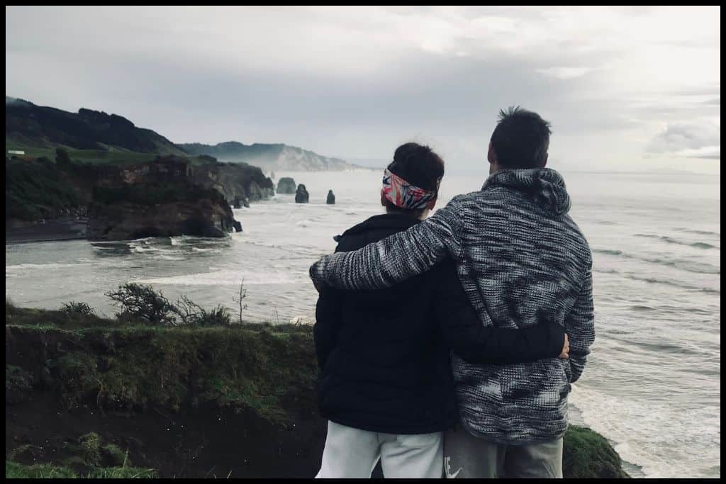
⛱️ Awakino Beach
General Location: Awakino Beach sits on the North Island’s west coast, above the northern Tāranaki Bight. Arguably it is at the bottom of the Waikato region but it sits right around that border.
Nearest Civilisation: The nearest civilisation to Awakino Beach is the small settlement of Mōkau, just two minutes drive away (2 kilometres, or 1.2 miles). It’s sort of half way between New Plymouth and the Waitomo Caves – two places you might be staying if you are making a trip out to a remote beach such as this.
Immediate Surroundings: Awakino Beach is located immediately north of the Mokau River Mouth and Mōkau Beach. It opens right out onto the bight – which is the Tasman Sea – as opposed to being enclosed in a bay. The Awakino River Mouth is at Awakino Beach and access to the beach involves walking by the river.
Beach Name: Awakino translates to ‘bad river’ and is generally understood to just be referring to the muddy water at the Awakino River Mouth. Getting There: Awakino Beach is just off the main state highway. To get there, you park next to the river and walk across the mudflats and black sand. Be prepared to walk for a few minutes to reach the beach.
Vehicle Parking: Yes, there is a carpark at Awakino Beach – Awakino River Mouth carpark. Walking Options: The Awakino Beach Walk is just over 2 kilometres (a mile), across the black sand and back – a half hour’s trip.
Swimming: Swimming is too dangerous at Awakino Beach, with its huge surf and dangerous currents. The water quality at the Awakino River Mouth is impacted by the farms around, so locals tend to swim in the Mōkau River instead. Surfing: The surf can be huge at Awakino Beach – best suited for advanced surfers.
Dogs: Dogs are fine to run off lead at Awakino Beach. Amenities: There is a toilet at the Awakino River Mouth carpark. Camping: Campers can stay at Seaview Holiday Park – just down from the river mouth.
Go, Because: Awakino Beach is a fishing spot – great for snapper, kahawai and especially whitebait – yum! Something Extra: The river mouth is really renowned for its whitebait – stop in at the Whitebait Inn in Mōkau for some whitebait fritters before you leave the area. Last Updated: May, 2026.
⛱️ Rapanui Beach (Tāranaki Boulders)
General Location: Rapanui Beach sits down the North Island’s west coast and is situated within the northern Tāranaki Bight. Nearest Civilisation: Rapanui Beach a ten minute drive south of Mokau, a small coastal settlement (14 kilometres, or 9 miles).
Immediate Surroundings: Rapanui Beach is located immediately north of Tongapōrutu – the Tongapōrutu Beach is famous for Elephant Rock and The Three Sisters, but Rapanui Beach boasts interesting geology of its own, as well. The Rapanui Stream trickles out onto the beach – which is non existent at high tide – and beyond the shore is the northern Tāranaki Bight.
Beach Name: Rapanui translates to ‘the great sternpost’ (at the back of a waka/canoe). Generally, a google search for Rapanui will bring up Shag Rock down in Christchurch (Canterbury region).
Getting There: You can actually only access Rapanui Beach at low tide, and that’s because the waves meet the cliffs at high tide, so there’s nowhere to go. Time your visit so you don’t get trapped. Access to the beach is a 200 metre walk from the Rapanui Stream Carpark across the black sand. Vehicle Parking: Vehicle parking is available at the Rapanui Stream Carpark.
Walking Options: At low tide (or in the two hours – maximum – either side of low tide), you can walk down the beach toward the south for 20 minutes to the Tāranaki Boulders. They’re 10 million years old, perfectly round – and a little like the famous Moeraki Boulders at the bottom of the South Island. Unfortunately, the Rapanui Beach Cave that comes up was eroded in 2008 and is no longer there – gone with it are the ancient carvings that were on the walls. Swimming: Rapanui Beach does not really lend itself to swimming as you need to go at low tide to even access it.
Surfing: Rapanui Beach is not a surfing beach, primarily for the above reason. Dogs: Dogs need to be on a lead at Rapanui Beach to protect any wildlife you might encounter. Amenities: There is a toilet available at Rapanui Beach.
Camping: There is no camping at Rapanui Beach but freedom camping is permitted at The Three Sisters – just a little bit south. Go, Because: Rapanui Beach is a scenic, black sand beach, a good leg stretch on the way into New Plymouth, and a great fishing spot.
Something Extra: Be sure to grab a photo of those Tāranaki Boulders – many tourists go right past without ever seeing (or hearing of) them! Last Updated: May, 2026.
⛱️ Tongapōrutu Beach / Three Sisters Beach
General Location: Tongapōrutu Beach is located on the northern Tāranaki coast, just before it curves around to New Plymouth and Mount Tāranaki. Nearest Civilisation: Although Tongapōrutu is a tiny settlement itself, the nearest civilisation of any sort is Mokau – a ten mintue drive north (14 kilometres, or 9 miles). The city of New Plymouth is an hour’s drive south (67 kilometres, or 42 miles).
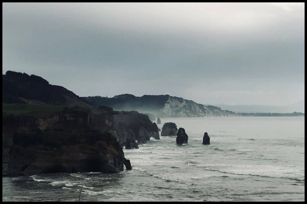
Immediate Surroundings: Tongapōrutu Beach sits at the Tongapōrutu River Mouth, in the northern Tāranaki Bight. Beach Name: Tongapōrutu Beach is named for being at the mouth of the Tongapōrutu River. The beach is also referred to as Three Sisters Beach, in reference to the three sea stacks that are about ten million years old! Only two remain now.
Getting There: Tongapōrutu Beach needs to be accessed at low tide. The carpark is immediately off the main highway, so easily done. The walk out to the rock formations is along the river before the part on the beach – you actually need to cross the river, although it is just shallow (ankle deep) at low tide.
Vehicle Parking: A gravel parking area is available at Tongapōrutu Beach. Walking Options: The reason people stop at Tongapōrutu Beach is to see the Three Sisters rocks and Elephant Rock – accessible at low tide. From the carpark, it’s 1.5 kilometres each way (1 mile), which will take you twenty minutes to wander down (each way).
Swimming: Tongapōrutu Beach is not a swimming beach and people go for the rock formations instead, which is a low-tide activity, anyway. Surfing: There are surfable breaks at Tongapōrutu Beach, but limited time in which the beach can be accessed. Dogs: Dogs need to be under control at Tongapōrutu Beach as wildlife may be encountered – seals may be seen, and certainly coastal birdlife.
Amenities: There is a toilet available at Tongapōrutu Beach. Camping: Freedom camping is permitted at Tongapōrutu Beach. Go, Because: At low tide you’ll be able to walk out to the three sisters rock formations – two of which remain – and Elephant Rock, which looks like an elephant from just the right angle, although it did have its trunk erode away. There’s also caves down there, and ‘Hole in the Rock’ which refers to the hole between the elephant’s legs that you can walk through.
Something Extra: Stop at the Tongapōrutu Scenic Viewpoint above the beach to the north as you come into or out of the settlement. It’s a great stopping point to see the rock formations from above. Last Updated: May, 2026.
⛱️ Urenui Beach
General Location: Urenui Beach is located where the Tāranaki Peninsula adjoins the main North Island, on its western coast. Nearest Civilisation: Urenui Beach is a half hour’s drive north of the city of New Plymouth. It’s 32 kilometres – or 20 miles.
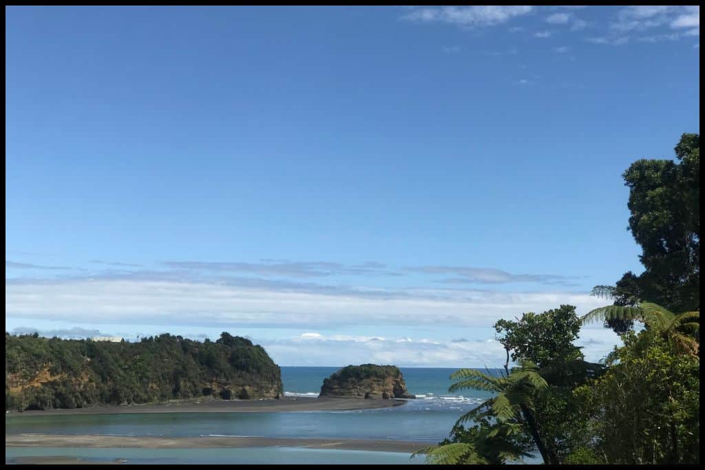
Immediate Surroundings: Urenui Beach sits within the northern Tāranaki Bight and is the coastal point at which the Urenui River meets the sea.
Beach Name: Urenui Beach shares its name with the river, which ends at the beach. Getting There: Urenui Beach is accessed via Urenui Beach Road, just off the main highway.
Vehicle Parking: Vehicle parking is available at the Urenui Domain. Walking Options: A nearby walk is the Whitecliffs Walkway – although it’s a big one, at 22 kilometres return (14 miles). It’s a five hour walk up on the cliffs, and starts near Urenui.
Swimming: There is great swimming at Urenui Beach. Surfing: Urenui Beach is a beginner-surfer friendly beach. Dogs: Dogs are completely prohibited from Urenui Beach.
Amenities: Toilets and showers are available at Urenui Beach. Camping: Urenui Beach Camp is right by the beach! Go, Because: Urenui Beach is a good black sand beach on the way into New Plymouth, with a tidal river opening up onto the beach, making for good swimming when the tide is coming in.
Something Extra: Consider going to the Ōkoki Pā Historic Reserve nearby to learn more about the history of the area. Last Updated: May, 2026.
⛱️ Waitara Beach
General Location: Waitara Beach is located on the northern curve of the Tāranaki Peninsula on New Zealand’s North Island. Nearest Civilisation: Waitara Beach is located in Waitara – a town in its own right.
Immediate Surroundings: Waitara Beach is located on the northern Tāranaki Bight and has the Waitara River flow into it. Beach Name: Waitara translates to ‘mountain stream’ which makes a lot of sense for any river in the area that flows from the mountain to the sea. Getting There: Waitara Beach is easily accessed off the main highway and down the roads of Waitara township, leading down to the shore.
Vehicle Parking: Yes! There is vehicle parking at Waitara Beach. Walking Options: The Waitara Beach and River Walk is a 2.5 kilometre (1.5 mile) stretch that you’ll need between half an hour and an hour for. It starts in the town centre and follows the river via a boardwalk before opening out onto Waitara Beach.
Swimming: Water quality can be questionable at Waitara Beach so check local council warnings before you go in. At other times it’s completely fine!
Surfing: Surfers will enjoy the breaks at the western end of Waitara Beach. Dogs: Dogs can be off lead at Waitara Beach, except for near the river mouth, where birds sometimes nest. Amenities: Toilets and a boat club are available at Waitara Beach, and Marine Park Reserve, which has a skatepark, basketball court and playground.
Camping: Waitara Holiday Park sits on the shores of Waitara Beach. Go, Because: Waitara Beach is popular with surfers and fishermen – particularly at the river mouth, for the latter.
Something Extra: White water guided trips are led down the Waitara River – consider jumping on one and surfing the rapids down the mighty river! Last Updated: May, 2026.
Best Beaches in New Plymouth
The city of New Plymouth is a great little coastal city, with its own pick of noteworthy city beaches for you to visit when next in the area.
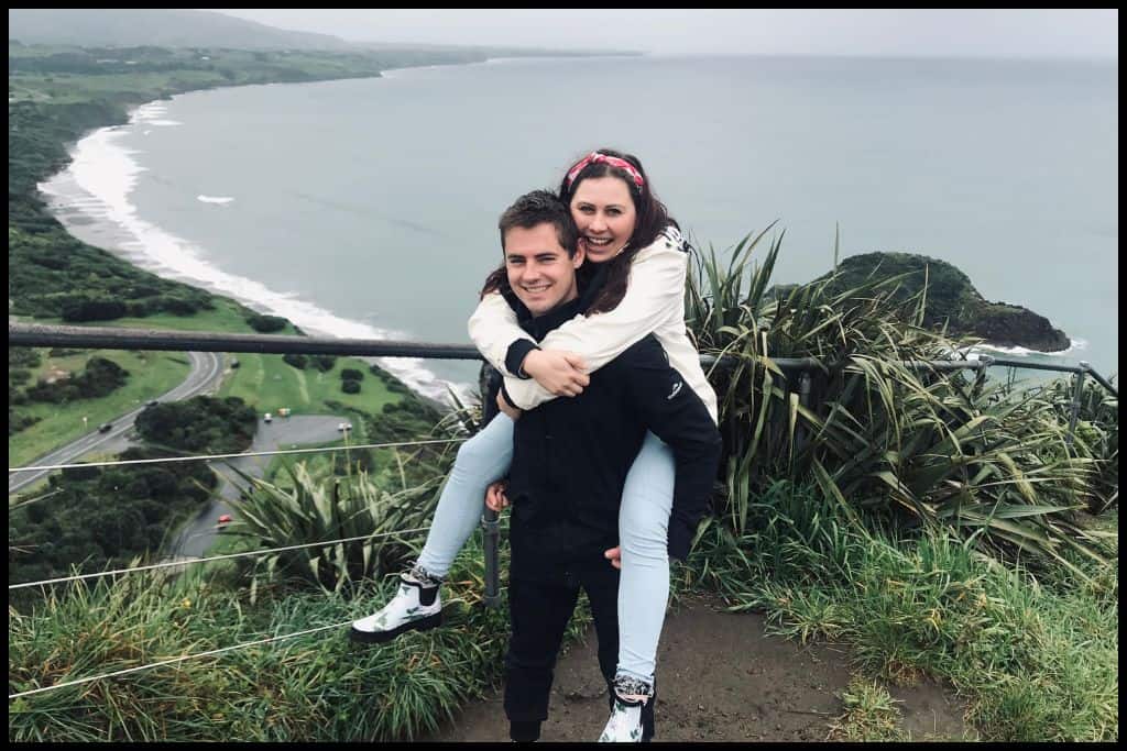
⛱️ Waiwhakaiho Beach
General Location: Waiwhakaiho Beach sits on the northern coast of the Tāranaki Peninsula, halfway down the western coast of the North Island. Nearest Civilisation: The city centre of New Plymouth is a ten minute drive from Waiwhakaiho Beach – 6 kilometres, or 3.7 miles.
Immediate Surroundings: Waiwhakaiho Beach sits on the northern Tāranaki Bight and is the site at which the Waiwhakaiho River meets the sea. It sits next door to Fitzroy Beach and has Waiwhakaiho Beach Reserve, Fitzroy Golf Course and Lake Rotomanu sitting just behind. Beach Name: Waiwhakaiho translates to ‘water that flows down from a high place’, which fits, given the position of Mount Tāranaki in the centre of the Tāranaki Peninsula.
Getting There: There is easy road access to Waiwhakaiho Beach. Access to the beach is from the Waiwhakaiho Beach Reserve. Vehicle Parking: There is abundant vehicle parking available at Waiwhakaiho Beach.
Walking Options: Consider the Waiwhakaiho Walkway, which follows the Waiwhakaiho River. It’s 2.5 kilometres (1.5 miles) one way and will take you three quarters of an hour in one direction. Swimming: Water quality is poor at Waiwhakaiho Beach and swimming is not recommended.
Surfing: Surfing is good for those intermediate level or above at Waiwhakaiho Beach. Dogs: Dogs are permitted on lead at Waiwhakaiho Beach but banned from nesting areas at particular times of year. Amenities: Toilets and a little reserve with a container café are available at Waiwhakaiho Beach.
Camping: There is no campsite at Waiwhakaiho Beach specifically but freedom camping is welcome at Lake Rotomanu, just a kilometre away. Go, Because: If you are an intermediate to expert surfer, you’ll enjoy the breaks here. Something Extra: Cross the Te Rewa Rewa Bridge across the Waiwhakaiho River , just before the river mouth, and appreciate the view of Mount Tāranaki framed in the curves of the bridge’s design as you pass through. Last Updated: May, 2026.
⛱️ Fitzroy Beach
General Location: Fitzroy Beach is located on the northern side of the Tāranaki Peninsula on the North Island. Nearest Civilisation: The city centre of New Plymouth is just a couple of minutes drive from Fitzroy Beach – 2 kilometres, or a mile.
Immediate Surroundings: Fitzroy Beach is situated on the northern Tāranaki Bight. It’s west of Waiwhakaiho River Mouth but fairly central to the city.
Beach Name: Fitzroy Beach is the namesake of Captain Robert Fitzroy, the country’s governor in the 1840’s. Getting There: There is easy access from the road to Fitzroy Beach – there is even an accessible ramp and beach wheelchairs that can be used by those with limited mobility!
Vehicle Parking: There is vehicle parking at Fitzroy Beach. Walking Options: I simply must mention the New Plymouth Coastal Walkway, which is a 13 kilometre (8 mile) – one-way – seaside path that walkers and cyclists love. It runs from the port right over to Bell Block Beach – and Fitzroy Beach is along it. It’s two or three hours to walk it one way but I can heartily recommend hiring a bike for it.
Swimming: Swimmers are safest to swim in peak season at peak times at Fitzroy Beach, when it is patrolled by lifeguards. It’s patrolled at both ends by two surf life saving clubs. Surfing: There are great surfing breaks at Fitzroy Beach. There’s lessons held here for beginners, too!
Dogs: Dogs can be off lead at Fitzroy Beach but are banned completely from the area between the two surf clubs. Amenities: Fitzroy Beach has a coffee shop, toilets, a playground (Fitzroy Seaside Park Playground), picnic areas and barbecues available for use. Camping: Campers can stay at the nearby Fitzroy Beach Holiday Park.
Go, Because: Fitzroy Beach caters to swimmers and surfers – of all levels, with surf schools operating on the beach to get even newbies out into the surf. Something Extra: Link up with the New Plymouth Surf School for a surfing lesson on Fitzroy Beach! Last Updated: May, 2026.
⛱️ Ngāmotu Beach
General Location: Ngāmotu Beach sits on the northern coast of the Tāranaki Peninsula, halfway down New Zealand’s North Island. Nearest Civilisation: Ngāmotu Beach is located right in the city centre of New Plymouth.
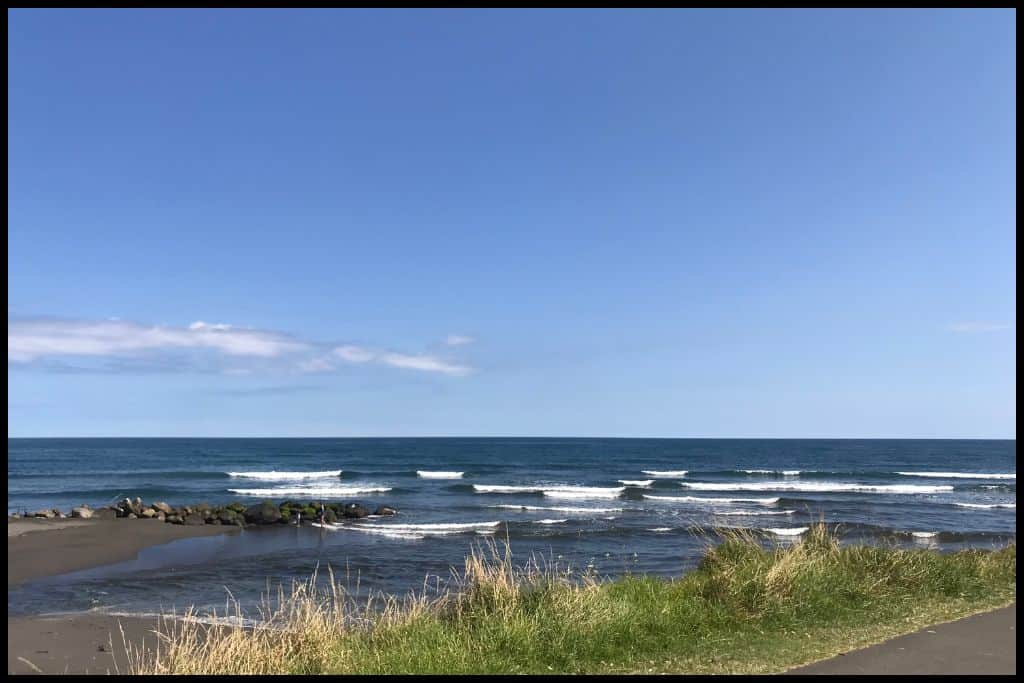
Immediate Surroundings: Ngāmotu Beach is contained right in the Port of Tāranaki, hemmed in by a breakwater on each side. Beyond the port is the northern Tāranaki Bight. Beach Name: Ngāmotu translates to ‘the islands’ in reference to the Sugarloaf Islands off shore.
Getting There: Ngāmotu Beach is accessed from Ocean View Parade along the beachfront. Vehicle Parking: Lots of roadside parking is available for Ngāmotu Beach along Ocean View Parade and at the recreation reserve. Walking Options: Head up the Lee Breakwater – the easternmost one – which is only 1.5 kilometres return (1 mile) and won’t take you more than half an hour.
Swimming: Swimming is safe and sheltered at Ngāmotu Beach. Surfing: The breakwaters at Ngāmotu Beach mean it is too sheltered to surf at. Dogs: Dogs are completely banned from Ngāmotu Beach.
Amenities: Toilets and a playground are available at Ngāmotu Beach. There’s also a coffee kiosk and waterfront restaurants. Camping: There is no campsite at Ngāmotu Beach specifically, and no freedom camping allowed, either. But Belt Road Seaside Holiday Park is very close. Go, Because: Ngāmotu Beach’s breakwaters means its really safe for swimmers here, with really calm waters. They lend themselves to paddleboarding, too.
Something Extra: Time your visit for a Sunday: there’s a seaside market here! Last Updated: May, 2026.
⛱️ Back Beach / Paritūtū Beach
General Location: Back Beach is located on the Tāranaki Peninsula on the North Island’s west coast. Nearest Civilisation: Back Beach is ten minutes drive from the city centre of New Plymouth – 6 kilometres, or 3.7 miles.
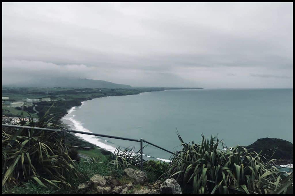
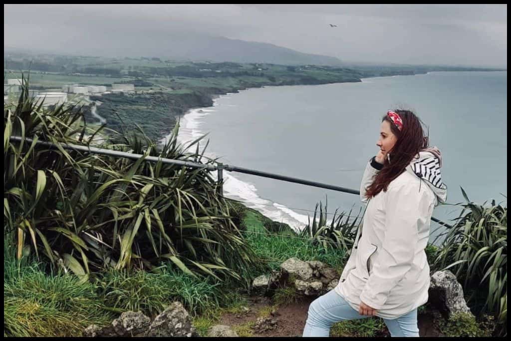
Immediate Surroundings: Back Beach is west of all the beaches above and around the back of the Port of Tāranaki. Offshore lie the Sugarloaf Islands (and the Sugarloaf Islands Marine Protected Area), and Paritūtū Rock looms above it at the upper end of the beach.
Beach Name: Back Beach is named for its position out the back of the Port of Tāranaki. It sits behind the rest of the aforementioned beaches, facing more in a northwestern direction as the peninsula curves around. Paritūtū translates to ‘steep pinnacle’. Paritūtū Beach is therefore obviously named for the steep Paritūtū Rock at the end of the beach.
Getting There: Back Beach is accessed from Centennial Drive, down a staircase traversing the steep dunes. Vehicle Parking: There are a couple of carparks available at Back Beach. Walking Options: Summit Paritutu Rock at the end of Back Beach: it’s a 100 metre ascent that will take you 20 minutes. It’s steep, but views at the top are awesome.
Swimming: The surf at Back Beach is powerful and dangerous and no lifeguards patrol here. Swim instead at Ngamotu Beach and/or Fitzroy Beach. Surfing: The surf is wild at Back Beach and suited to advanced surfers. Dogs: Dogs are mostly allowed off lead at Back Beach but some restrictions apply in the warmer months. They also need to be kept away from Paritutu Rock as seals and penguins use the rocks there.
Amenities: Toilets and a food truck are available at Back Beach. Camping: There is no campsite at Back Beach. Go, Because: Back Beach is loved for its West Coast sunsets, black sand, and the views out to the Sugarloaf Islands, which aren’t too far offshore and provide and awesome silhouette against the setting sun.
Something Extra: A couple of operators offer boat charters out to the Sugarloaf Islands and these are well worth doing for the marine life you get to see! Expect to see seals out on the rocks, sometimes penguins and other seabirds, like gannets, and if you’re lucky, a whale or dolphin! Last Updated: May, 2026.
⛱️ Tapuae Beach
General Location: Tapuae Beach is out on the Tāranaki Peninsula on the North Island’s west coast. It faces the 11 o clock direction on the perfectly round peninsula. Nearest Civilisation: Tapuae Beach is a ten minute drive from New Plymouth’s city centre (8 kilometres, or 5 miles).
Immediate Surroundings: Tapuae Beach sits on the Northern Tāranaki Bight and is a little further around the Tāranaki Peninsula from the city centre of New Plymouth. Tapuae Marine Reserve is just offshore and the Tapuae Stream heads down to the ocean via Tapuae Beach. Beach Name: Tapuae translates to ‘footprint’.
Getting There: Access to Tapuae Beach is a short way down Washer Road, which comes off the main state highway. There’s a 700 metre walk by the Tapuae Stream to reach the beach.
Vehicle Parking: There is vehicle parking at Tapuae Beach – part way down Washer Road there is a carpark, before the short walk.
Walking Options: If you have an hour, walk the 5 kilometres (3 miles) up the Tapuae Stream (return) from the beach and back (Tapuae Beach Walk). Swimming: Swim with caution at Tapuae Beach, because of the strength of the currents on these wild west coast beaches, and because of the absence of any lifeguards, but, being a marine reserve, eager snorkellers would do best to stay near the Tapuae Stream end of the beach.
Surfing: Surfers will find powerful surf at Tapuae Beach. Dogs: Dogs need to be on a lead at Tapuae Beach. Amenities: Showers and toilets are available at Tapuae Beach.
Camping: There is no camping permitted at Tapuae Beach. Go, Because: It’s a marine reserve here, so you can actually get in some good snorkelling down the end of the beach where the stream is. Families, be mindful that Tapuae Beach is a nudist friendly beach.
Something Extra: You genuinely might see a whale or dolphin out in the marine reserve from the beach – or a seal or penguin, so take some binoculars, and get comfortable. Last Updated: May, 2026.
⛱️ Ōakura Beach
General Location: Ōakura Beach is located on the northwestern facing part of the Tāranaki Peninsula, on the North Island’s west coast. Nearest Civilisation: Aside from Ōakura, a coastal village in its own right, Ōakura Beach is an 18 minute drive from New Plymouth’s city centre – 16 kilometres, or 10 miles.
Immediate Surroundings: Ōakura Beach is located on the Tāranaki Peninsula and opens up into the northern Tāranaki Bight. It is a little further round from the city centre and faces in an 11 o clock direction. The Ōakura River Mouth is located at Ōakura Beach, also.
Beach Name: There’s a couple of assumptions about the name Ōakura, but one generally accepted one is that it comes from the Maori word ‘aoakura’, meaning ‘light that comes with the red sky’. Oh, and there’s another Ōakura Beach in Northland. Getting There: Ōakura Beach is easily accessed from the beachfront roads in the village.
Vehicle Parking: Yes! There is a vehicle parking at Ōakura Beach. Walking Options: You can actually walk between Ōakura Beach and Back Beach – it’s 8.5 kilometres one way (5.5 miles) and will take you two or three hours one-way. Because you need it to be a couple of hours either side of low tide, just stick to doing it one-way and organise transport back the other way.
Swimming: Ōakura Beach is a beloved swimming destination, with lifeguards patrolling during summer. Surfing: Surfers of all levels will get good breaks at Ōakura Beach. Dogs: Dogs can be off lead at Ōakura Beach, except for peak times in summer, when they need to be on lead.
Amenities: Toilets and reserves are available at Ōakura Beach, with the holiday park playground right by the surf club. Camping: Campers can stay at nearby Ōakura Beach Holiday Park.
Go, Because: Ōakura Beach is known for killer whale and dolphin sightings, although it’s rare enough that it’s still newsworthy when it happens, and there’s also a chance of seeing a stingray in the shallows! There’s great rock pools here – you’ll see some fish life, and good birdlife here, too. You want a mid-winter visit for any chance of a whale sighting.
Something Extra: Stroll down the beach to see the shipwreck of the SS Gairloch, which ran aground out on the reef in 1903. Basically, just the bow remains, but you can wade out to see the boiler. This is definitely a low tide activity, in order to see it at all.
The walk down is a half hour return walk. You can go via the beach or the grass. It’s only a couple of kilometres return (a mile). Last Updated: May, 2026.
Best Beaches on the Surf 45 Highway
The Tāranaki Bight are the curves of coast surrounding the very round Tāranaki Peninsula that juts out from the western side of the lower North Island, with its centrepiece being the conical Mount Tāranaki. The peninsula has a whole array of amazing surfie hotpots, and the highway is the route between the more northern ones:
⛱️ Stent Road Beach
General Location: Stent Road is located on the Tāranaki Peninsula on the North Island’s west coast. It’s just a tiny bit north of Cape Egmont, which is the westernmost point of the perfectly rounded peninsula – so Stent Road Beach is quite a away around the peninsula, facing due west.
Nearest Civilisation: Stent Road Beach is incredibly remote, but it’s tiny Warea you’ll be looking at on the map in order to see where to turn off onto Stent Road. Warea is just a couple of kilometres (and a couple of minutes drive) from the beach.
Immediate Surroundings: Stent Road Beach is north of Cape Egmont and further around the peninsula from the city of New Plymouth – it is very much right around on the west facing coastline, looking out into the Tasman Sea. Beach Name: I’m actually unsure about the naming process for Stent Road Beach! It’s just called that because the access road is Stent Road.
Getting There: Stent Road Beach is accessed from Stent Road off the main state highway. Vehicle Parking: A gravel car park area is available at Stent Road Beach. Walking Options: A walker’s option if you are waiting for others to finish their surfing sessions is to head to the Hangatahua Walkway, or Stony River Walkway, not far from Warea. It’s an hour return walk (3 kilometres, or 1.8 miles) and is the perfect way to pass the time. A stream crossing is involved.
Swimming: Stent Road Beach is too dangerous for swimmers. Surfing: Stent Road Beach is one of the best surfing spots in the entire country. Dogs: Dogs can be off lead at Stent Road Beach.
Amenities: Stent Road Beach has no facilities. Camping: There is no campsite – and no freedom camping permitted either – at Stent Road Beach. Go, Because: This would be one of New Zealand’s best surf spots.
Something Extra: Just a few minutes south of Stent Road Beach is the Historic Cape Light and Museum – it’s the site of the previous Cape Egmont Lighthouse. You can read the information boards, learn about the history on the cape, and climb the tower. Last Updated: May, 2026.
⛱️ Arawhata Road Beach
General Location: Arawhata Road Beach sits on the Tāranaki Peninsula, on the western coast of the North Island, and is further around from Cape Egmont (the westernmost point) so actually faces the south east. Nearest Civilisation: The little coastal town of Ōpunakē is ten minutes drive south of Arawhata Road Beach (9 kilometres, or 5.5 miles).
Immediate Surroundings: Arawhata Road Beach’s position means it opens out into the southern Tāranaki Bight, beneath the Tāranaki Peninsula. Beyond the shoreline lies the Arawhata Road Beach Herb Field and wetland area.
Beach Name: Arawhata Road Beach is simply named for the access road toward it. Getting There: Arawhata Road Beach is accessed from Arawhata Road, which is just off the main state highway before you reach Opunake.
Vehicle Parking: Yes! There is an Arawhata Road Carpark. Walking Options: Do wander the wetlands surrounding Arawhata Road end. There’ a loop track you can do here.
Swimming: Arawhata Road Beach does not lend itself to safe swimming. Surfing: Arawhata Road Beach is one of the best spots in the country for surfing. Dogs: Dogs can run off lead at Arawhata Road Beach.
Amenities: There are no facilities at Arawhata Road Beach. Camping: Yes! Freedom camping is permitted at Arawhata Road Beach. Go, Because: This is a fantastic spot for surfies – the whole Surf 45 Highway is – but Arawhata Road Beach has both left and right hand breaks and has consistently good surf no matter the tide.
Something Extra: This coastline is a photographer’s dream! You’ll be spoilt with the impressive volcano behind you, the green farmland, dramatic black sand and pounding surf. Last Updated: May, 2026.
Best Beaches on the southern Tāranaki Bight
South Tāranaki’s coastline features marine terraces that stretch from Ohawe all the way south to Whanganui. Continue down the coastal road to find these treasures just south of the beaches above.
⛱️ Ōpunake Beach
General Location: Ōpunake Beach is located on the underside of the Tāranaki Peninsula, on the North Island’s west coast. Nearest Civilisation: Ōpunake Beach is located right in the township of Ōpunake itself.
Immediate Surroundings: Ōpunake Beach is situated on the Tāranaki Peninsula opening up into the southern Tāranaki Bight, facing in an 8 o clock direction. A small stream from the Ōpunake Power Station ends at Ōpunake Beach. Beach Name: Ōpunake translates to ‘the place where the springs have always been’.
Getting There: Ōpunake Beach is easily accessed from the carpark area. Vehicle Parking: There is lots of vehicle parking at Ōpunake Beach. Walking Options: Loop the nearby Ōpunake Lake via the Ōpunake Lake Trail, which will take you less than an hour and is only 1.5 kilometres long (1 mile). Its a shorter version of the Ōpunake Loop Trail.
Swimming: Ōpunake Beach is actually a really safe swimming beach because of how it is sheltered by the headlands. It’s also patrolled by lifeguards in peak season. Surfing: Ōpunake Beach is a beloved surfing spot.
Dogs: Dogs are not permitted on Ōpunake Beach. Amenities: Toilets and changing rooms are available at Ōpunake Beach, as well as showers and a playground on nearby Bowen Crescent. Camping: Ōpunake Beach Holiday Park offers campsites nearby. Freedom camping is also permitted in and around Ōpunake in several spots – none too far from Ōpunake Beach.
Go, Because: Ōpunake Beach is a surfie hotspot but also safe for swimmers, – which cannot be said for all the beaches down this coastline. They say it’s actually one of the safest swimming beaches in New Zealand! Something Extra: Head up to Lion’s Lookout – a 20 minute clifftop ascent from the beach – which is 1.5 kilometres (1 mile) for splendid views across the southern Tāranaki Bight, and excellent photo opportunities of Mount Tāranaki and the cute red and white Ōpunake Lighthouse. Last Updated: May, 2026.
⛱️ Kaupokonui Beach
General Location: Kaupokonui Beach is located on the underside of the Tāranaki Peninsula on the North Island’s west coast. Nearest Civilisation: The little coastal town of Manaia is the nearest civilisation to Kaupokonui Beach. It’s 5 kilometres (3 miles) away and just a few minutes by car.
Immediate Surroundings: Kaupokonui Beach is the mouth of the Kaupokonui River (also known as the Kaupokonui Stream), and the beach looks out into the southern Tāranaki Bight. It faces the 7 o clock direction, in terms of its position on the perfectly rounded peninsula. Beach Name: Kaupokonui means ‘the great head of Turi’, referring to the adjacent headland.
Getting There: Kaupokonui Beach is accessed off Lower Glenn Road, off the main state highway. Vehicle Parking: There is vehicle parking at Kaupokonui Beach. Walking Options: Mentioned only briefly above, perhaps walk the Opunake Loop Trail, which is a 7 kilometre (4.3 mile) track involving the Opunake Lake Loop. Give yourself a couple of hours for this.
Swimming: You can swim at Kaupokonui Beach or in the tidal river (Kaupokonui River, aka the Kaupokonui Stream) but water quality can be an issue – indicators in the stream show if the levels of contamination are safe for swimming or not. Surfing: Kaupokonui Beach is an excellent surfie destination. Dogs: Dogs can be on Kaupokonui Beach off lead as long as they are under control.
Amenities: There are no public facilities at Kaupokonui Beach – just a playground, toilets and showers for guests of the beach camp. Camping: Kaupokonui Beach Camp is situated right near the beach. Go, Because: Kaupokonui Beach is a great spot for catching whitebait! It’s season and tide dependent so just check online against the time of your visit.
Something Extra: There are big black sand dunes at Kaupokonui Beach – kids and big kids (adults) alike will enjoy sliding down them! Last Updated: May, 2026.
⛱️ Ōhawe Beach
General Location: Ōhawe Beach is located on Tāranaki Peninsula’s underside, on the west coast of the North Island. Nearest Civilisation: Ōhawe Beach is a ten minute drive from the town of Hāwera, 8 kilometres, or 5 miles.
Immediate Surroundings: The Waingongoro River flows onto the western end of Ōhawe Beach. The beach looks out into the southern Tāranaki Bight. Behind the beach is part of the Tangahoe Formation – the famous black cliffs shared with Waihi Beach to the east. Beach Name: Ōhawe translates to ‘the place of a river bend’ and refers to the winding Waingongoro River.
Getting There: Ōhawe Beach is accessed via Ōhawe Road, just off the main state highway. There’s a short walk between the carpark and the beach. A gravel track winds down the cliff from the upper of the two carparks. The tide comes right in up to the cliffs, so you need to visit at low tide.
Vehicle Parking: Vehicle parking at Ōhawe Beach is available up on the clifftop and also by the river mouth. Walking Options: A longer, one-way walk option is from Ōhawe Beach to Waihi Beach – it’s 5 kilometres (3 miles) and it will take you near on three hours. You need to time it for either side of low tide, because it’s up the sand, so best just to go one way else the return will be impassable. Opt to just coordinate a return via different means instead.
Swimming: There’s a swimming hole at the Waingangoro River Mouth which is a safer option than the ocean itself, with its powerful west coast currents. Avoid the water 3 days after rainfall due to the risk of contamination and sickness. Stay near the end of the boat ramp.
Surfing: Ōhawe Beach has good breaks for advanced surfers. Dogs: Dogs can be off lead at Ōhawe Beach as long as they are under control. Amenities: There are toilets, changing rooms and a boat ramp at Ōhawe Beach.
Camping: Campers can stay at Ohawe Beach Camp nearby. Go, Because: This is where the first Māori settlers in the area lived and there are the remains of their old pā still here! Now extinct moa were hunted here – the area is actually one of the most important historical sites in the country.
Something Extra: Pay close attention to the cliffs at Ōhawe Beach and see if you can spot fossils of shells and marine life embedded in them! These are over three million years old! Last Updated: May, 2026.
⛱️ Waihi Beach
General Location: Waihi Beach is situated on the underside of the Tāranaki Peninsula, on the North Island’s west coast. Nearest Civilisation: Waihi Beach is an eight minute drive from the town of Hawera, 5.5 kilometres, or 3.5 miles.
Immediate Surroundings: The Tangahoe Formation – the 3 million year old cliffs that are made of soft papa rock – run along this stretch from Waihi Beach to Ōhawe Beach. They’re renowned for their fossils. Waihi Beach is positioned on the underside of the Tāranaki Peninsula and looks out into the southern Tāranaki Bight and Waihi Stream runs through a gorge of tall cliffs before it reaches Waihi Beach.
Beach Name: The better known Waihī Beach is over below the Coromandel Peninsula, so generally, when you are searching, this is the one that will come up. Getting There: Waihi Beach is accessed from the end of Denby Road, just off the main state highway. From here, it’s a steep walk down the cliff which will take you five minutes. It’s a low tide beach – don’t try accessing it at high tide.
Vehicle Parking: Yes, there is a carpark at the end of Denby Road from which to access Waihi Beach, although the short walk is a bit steep. Walking Options: Five minutes drive away in Hawera is the King Edward Park Walk – a fifteen minute loop (1 kilometre, or half a mile) around the gardens – a pretty little spot sitting in stark contrast to the wild and rugged black sand coastline. Swimming: Strong currents and powerful surf means Waihi Beach does not lend itself to safe swimming.
Surfing: Waihi Beach is suited to advanced surfers only. Dogs: Dogs are permitted off lead on Waihi Beach. Amenities: Toilets are available at Waihi Beach.
Camping: Freedom camping is permitted at Waihi Beach Reserve, in the carpark, at the end of Denby Road. Hawera Holiday Park is also not far away. Go, Because: There are three million year old fossilised shells immortalised in the cliffs here – and rock pools to explore at low tide.
Something Extra: There’s actually a waterfall at Waihi Beach – try and spot it on your descent down to the beach. Also do wander up the Waihi Stream a little way – the cliffs all around are most impressive. Last Updated: May, 2026.
⛱️ Waiinu Beach
General Location: Waiinu Beach is located where the Tāranaki Peninsula adjoins the mainland on its underside. Nearest Civilisation: Aside from the small coastal settlements nearby, the nearest place of any significant size is actually the city of Whanganui, a half hour drive to the south – 37 kilometres, or 23 miles.
Immediate Surroundings: Waiinu Beach’s position on the Tāranaki Peninsula means it looks out into the southern Tāranaki Bight and the Cook Strait (which separates the North Island from the South Island) and it’s also the last beach in the region, as the Manawatu Coastline starts from this point onward, carrying on to the south.
Beach Name: Waiinu translates to ‘place of drinking water’. It’s not a misspelling of Wainui Beach (which refers to a couple of New Zealand beaches in Gisborne, Tasman and Canterbury regions) although Google can sometimes think that that is what you mean! Getting There: Waiinu Beach Road is accessed from Waiinu Beach Road, not too far off the main state highway.
Vehicle Parking: There’s a big carpark at Waiinu Beach. Walking Options: One walk to consider is the Waiinu Beach to Waitōtara River Mouth Walk – it’s 5 kilometres (3 miles) return and deserves a couple of hours. Start from the Waiinu Beach Campground. Swimming: There are no lifeguards at Waiinu Beach but swimming is definitely enjoyed there.
Surfing: Waiinu Beach has good breaks for beginners! Dogs: Dogs need to be on a lead at Waiinu Beach. Amenities: Public toilets are available at Waiinu Beach, with barbecues and a playground part of the campground, accessible to guests staying there.
Camping: Waiinu Beach Campground sits right on the beach. Go, Because: Waiinu Beach is yet another scenic, black sand, surfie hotspot! Add it to the list if you are a surfer. Something Extra: Allow time to enjoy the epic sand dunes – maybe take something to slide down on! Last Updated: May, 2026.
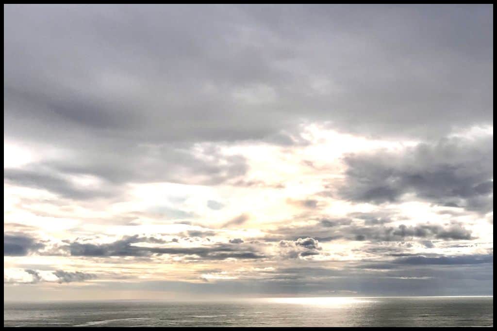
Whether you’re after amazing surf breaks, a quiet swim, a place to fish, or a recommendation from where to watch the sun go down, Tāranaki’s coastline delivers in spades. Explore a few, take your time, and see which ones you’d consider favourites; chances are, you’ll end up with a few!