
Where Are The Best Beaches In Hawkes Bay, New Zealand?
Hawke’s Bay may be best known for its wine, but the coastline is equally worth a mention. There are a surprising variety of beaches dotted along the east coast. This guide breaks down the best beaches in Hawke’s Bay by area, so you can easily plan that next stop.
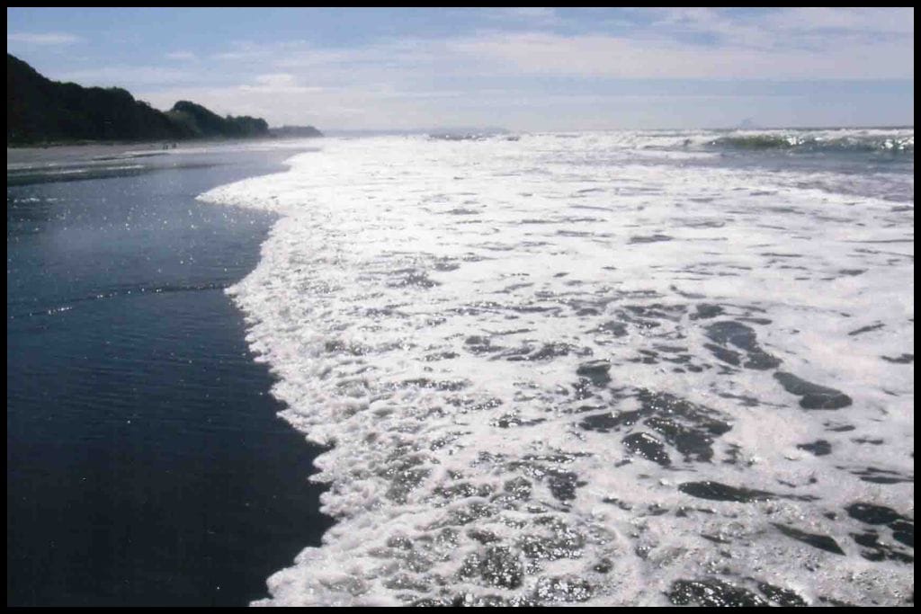
Best Beaches on the Māhia Peninsula
⛱️ Mahanga Beach
General Location: Mahanga Beach is located on the eastern cape of New Zealand’s North Island. Nearest Civilisation: Mahanga Beach is closest to a little settlement called Nūhaka, but the nearest town is Wairoa, three quarters of an hour’s drive away (50 kilometres, or 31 miles).
Immediate Surroundings: Mahanga Beach is on the eastern side of the Mahia Peninsula, part of the Tairāwhiti Coastline. Maungawhio Lagoon sits a little further down, behind Pukenui Beach. The Kopuawhara Stream flows over the beach to sea.
Beach Name: Mahanga translates to ‘twin’, which makes sense, given the twin hills on the Mahia Peninsula. Getting There: Mahanga Beach is accessed from Mahanga Road. It’s not far from the carpark.
Vehicle Parking: There is vehicle parking at Mahanga Beach.
Walking Options: A big day walk is the Paritu-Mahanga track, which is a full five to seven hours of walking (20 kilometres, or 12 miles). It crosses farmland up above the coast, with gorgeous sweeping views out to sea. Swimming: Mahanga Beach is a fantastic spot for swimming and boogie boarding but does not have a lifeguard patrolling in summer, so check for rips before you go in.
Surfing: Mahanga Beach is an epic surfing spot. Dogs: Dogs need to be on a leash at Mahanga Beach. Amenities: Toilets are available at Mahanga Beach.
Camping: No camping is allowed at Mahanga Beach. Go, Because: The Māhia Peninsula is a real gem on the East Cape of the North Island of New Zealand – surfers will love Mahanga Beach for its breaks, but swimming conditions are fantastic here, too.
Something Extra: Mahanga Beach boasts superior water quality and great fishing, as well, so take some gear and spend the day. Last Updated: May, 2026.
⛱️ Māhia Beach
General Location: Māhia Beach is located on the eastern cape of New Zealand’s North Island, on the Māhia Peninsula, specifically. Nearest Civilisation: The town of Wairoa is a 40 minute drive away (48 kilometres, or 30 miles).
Immediate Surroundings: Māhia Beach is located on the Tairāwhiti Coastline, on the other side of the peninsula to Mahanga Beach. It’s at the end of Hawke Bay and nestled underneath the Mokotahi Headland and the Mahia Bluff. Beach Name: Māhia translates to ‘indistinct sound heard from afar’.
Getting There: Several beach access points to Māhia Beach are along Ormond Drive. Vehicle Parking: Grassy parking areas are available along the beachfront of Māhia Beach.
Walking Options: Take fifteen minutes to climb up Mokotahi Hill for an amazing view back along Māhia Beach. Its 2 kilometres (1.2 miles) return, so not too far. Swimming: Swimming at Māhia Beach is safe and sheltered, and not too deep! I had a very memorable swim here when I was twelve…
Surfing: Māhia Beach itself is shallow and not the best surfing beach – although you won’t have to go far around the peninsula to some of the best breaks in the world! Dogs: Dogs need to be on a leash at Mahia Beach.
Amenities: Mahia Beach has a boat club, a store, toilets, changing rooms, picnic areas and an electric vehicle charger. Accommodation is close by – I distinctly remember running down to our cabin to grab my togs and back down the beach again when a wild dolphin turned up on the shores in summer of 2008! It was the famous Moko the Dolphin, and he came to play with holidaymakers in the shallows for three consecutive summers.
Camping: Previously known as Mahia Beach Motel & Holiday Park (when I stayed there), Mahia Beach Resort is the go-to campsite in the area. Go, Because: Māhia Beach is one you have to visit for the sheer beauty of this gorgeous peninsula. Something Extra: Take a paddleboard out – Māhia Beach is the calmest and the best for this sort of activity. Last Updated: May, 2026.
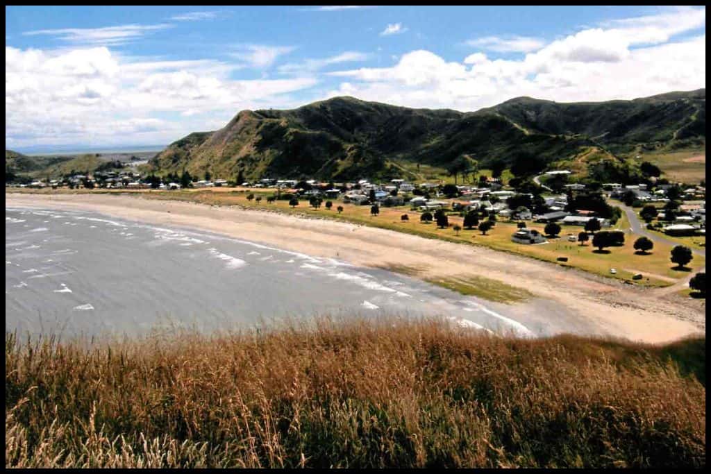
⛱️ Opoutama Beach / Blue Bay
General Location: Opoutama Beach sits out on the east cape of New Zealand’s North Island, south of Gisborne and at the edge of Hawke Bay. Nearest Civilisation: Aside from the. small coastal settlements in the area, the town of Wairoa is nearest Opoutama Beach, just over half an hour’s drive away (43 kilometres, or 27 miles).
Immediate Surroundings: Opoutama Beach is along the Tairāwhiti Coastline and contained within Hawke Bay. It’s a tiny little beach at the opposite end of the bay to Mahia Beach. Beach Name: The Europeans named Opoutama Beach Blue Bay for the colour of the water here.
Getting There: Several tracks across the sand connect the teeny tiny settlement of Opoutama to Opoutama Beach. Vehicle Parking: There are little parking parking spots at Opoutama Beach; it’s just a small area so you won’t have far to go. Walking Options: Consider walking the Māhia Peninsula Scenic Reserve Loop – two and a half hour’s walk (3.5 kilometres, or 2 miles), showcasing the best of the peninsula.
Swimming: Swimming is really good at Opoutama Beach. Surfing: Opoutama Beach is a really good surf beach for beginner surfers. Dogs: Dogs need to be on a leash at Opoutama Beach.
Amenities: Toilets only are available at Opoutama Beach.
Camping: Freedom camping is very popular at Opoutama Beach. Go, Because: Opoutama Beach – otherwise known as Blue Bay – is very beginner-surfer friendly. It’s, again, a great spot also for swimmers, fishers, and campers. Something Extra: It’s an awesome diving location, too – if you are a diver, be sure to spend some time at Opoutama Beach, Last Updated: May, 2026.
⛱️ Blacks Beach
General Location: Blacks Beach is located on the eastern cape of New Zealand’s North Island, south of Gisborne. Nearest Civilisation: Aside from the tiny coastal settlements around the peninsula, the nearest town of Wairoa is a half hour drive from Blacks Beach (38 kilometres, or 23 miles). Immediate Surroundings: Blacks Beach is just around the corner from Opoutama Beach and Mahia Beach, separated from them by Auroa Point. It’s east of the beaches above, along the curve of Hawke Bay.
Beach Name: Blacks Beach is named for the family who owned the nearby land as early settlers in the area. Getting There: It’s a short walk from the carpark to Blacks Beach.
Vehicle Parking: Yes! There is a carpark at Blacks Beach. Walking Options: From Blacks Beach carpark you can opt to head down to neighbouring Wai Taniwha Bay. It’s a 400 metre descending path that will take you just a few minutes and you’ll see the ocean surge through Blacks Beach Blowhole on the way!
Swimming: The currents are really strong at Blacks Beach; don’t swim. Surfing: The surfing at Blacks Beach is some of the best in the country. Dogs: Dogs need to be on a leash at Blacks Beach.
Amenities: Toilets are available at Blacks Beach.
Camping: Camping directly at Blacks Beach is not permitted. Go, Because: Blacks Beach is loved for its consistently good surfing and amazing scenery. Swimmers would do well to avoid this one – it’s just a little more dangerous than the others.
Something Extra: Fishing is awesome at Blacks Beach / Blacks Reef, so cast a line! Last Updated: May, 2026.
Best Beaches in the North
Waipātiki Beach gets a little category of its own here – it’s local to the little settlement of Tangoio, and a worthwhile little stop if you are travelling into Hawkes Bay via the coastal route.
⛱️ Waipātiki Beach
General Location: Waipātiki Beach is on the eastern coast of New Zeakand’s North Island, south of the east cape. Nearest Civilisation: Waipātiki Beach is a forty minute drive north of the city of Napier, 36 kilometres – or 22 miles.
Immediate Surroundings: Waipātiki Beach is about a third of the way around the curve of Hawke Bay. Waipātiki Stream and the small lagoon (Waipātiki Lagoon) that it spills into on the beach are great safe play areas for chiildren. Beach Name: Waipātiki translates to ‘water of the flounder’.
Getting There: Waipātiki Beach is directly accessed from the end of Waipātiki Road. Vehicle Parking: There is lots of vehicle parking at Waipātiki Beach at the end of the road. Walking Options: Take half an hour to an hour to wander the loop through the Waipātiki Scenic Reserve to see the nikau palms and the very old kahikatea trees.
Swimming: There is great swimming to be had at Waipātiki Beach. In summer school holidays, lifeguards patrol the beach. The lagoon and stream are good spots for swimming, too. Surfing: Waipātiki Beach surf breaks cater to all levels.
Dogs: Dogs are to be on lead at Waipātiki Beach and kept off the loop track. Amenities: Toilets and picnic areas are located at Waipātiki Beach for public use. Camping: Waipātiki Beach Holiday Park is located right on the beach.
Go, Because: This is a great beach for swimmers, with lifeguard patrolling in summer, and the nearby stream is a good paddling spot for really young ones, too.
Something Extra: Head up to Waipātiki Lookout – a forty minute return walk (1.5 kilometres, or 1 mile). (Last Updated: May, 2026.
Best Beaches in Napier
Napier, one of the smaller cities on the North Island, is the main hub of activity for the region. This small city is coastal and has two beaches in particular that certainly make the best beach cut:
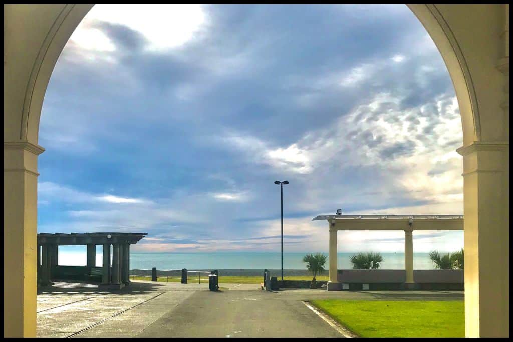
⛱️ Westshore Beach
General Location: Westshore Beach sits on the eastern coast of New Zealand’s North Island, south of the East Cape. Nearest Civilisation: Westshore Beach is an 8 kilometre (5 mile) drive – just a few minutes – from the city centre of Napier.
Immediate Surroundings: Westshore Beach is adjacent to the Ahuriri Lagoon/Estuary (also referred to as the Ahuriri Estuary and Wildlife Reserve), a little pocket of water fed by mountain streams that breaks the sweeping arc of Hawke Bay. Hawkes Bay Airport sits just behind Westshore Beach.
Beach Name: Despite Westshore Beach sitting down the eastern coast of the North Island, it sits on the western side of the Ahuriri Lagoon and is therefore named Westshore. Getting There: Westshore Beach has multiple access points off Ferguson Avenue.
Vehicle Parking: Roadside parking is available along Ferguson Avenue – the esplanade running the length of Westshore Beach.
Walking Options: Westshore Loop Walk is a great nearby walking option that will take you just under an hour – it’s 4 kilometres long (2.5 miles). It does a loop around the estuary so you are sure to see lots of birdlife! Swimming: Westshore Beach is a bit of a go-to location for Napier locals, with relatively safe swimming conditions due to the lifeguards patrolling during summer.
Surfing: The surf at Westshore Beach caters to all level. Dogs: Dogs need to be on a leash at Westshore Beach. Amenities: Westshore Beach has toilets, changing rooms, and a fantastic playground with a sandpit, trampoline and flying fox (zipline). There’s also a coffee shop and a couple of restaurants.
Camping: Campers can stay at Westshore Holiday Park, right near the beach. Go, Because: Westshore Beach is one of the safer swimming beaches in Napier.
Something Extra: Across the estuary mouth from Westshore Beach lies Pandora Pond. Locals love the sheltered, calm water for paddle sports. Last Updated: May, 2026.
⛱️ Ahuriri Beach
General Location: Ahuriri Beach is located on the North Island’s eastern coast, beneath the East Cape. Nearest Civilisation: Napier’s city centre is just four minutes drive from Ahuriri Beach (2.5 kilometres, or 1.2 miles).
Immediate Surroundings: Ahuriri Beach is located adjacent to the Ahuriri Estuary/Lagoon, between Perfume Point and Bluff Hill, just down from the Napier Port. It sits within Hawke Bay, which the region is named after. Beach Name: Ahuriri Beach is said to have been named after a chief of legend who cut the channel between the lagoon and the sea – his name was Tū-āhu-riri.
Getting There: Ahuriri Beach is easily accessed from Hardinge Road along the waterfront.
Vehicle Parking: Roadside parking – and parking at Perfume Point – are available for visitors to Ahuriri Beach. Walking Options: Stroll the Ahuriri Waterfront and Marina – 4 kilometres (2.5 miles) of easy, flat path that you won’t need more than an hour for. Swimming: The swimming is safe at Ahuriri Beach, because it is a lot more sheltered than those facing due east. Lifeguards patrol during summer on weekends and this is the safest time to swim.
Surfing: The surf at Ahuriri Beach is really well suited to beginner surfers. Dogs: Dogs can be at Ahuriri Beach – on lead – but not in the estuary. Amenities: Ahuriri Beach has toilets and showers, changing rooms, a playground (Spriggs Park Reserve), picnic area, and nearby eateries.
Camping: There is no campsite specifically at Ahuriri Beach. Go, Because: Arguably even safer than Westshore for swimming, and with an awesome boardwalk nearby, Ahuriri Beach is a local favourite. Something Extra: Something extra to do is to cycle the boardwalk instead of walk! Last Updated: May, 2026.
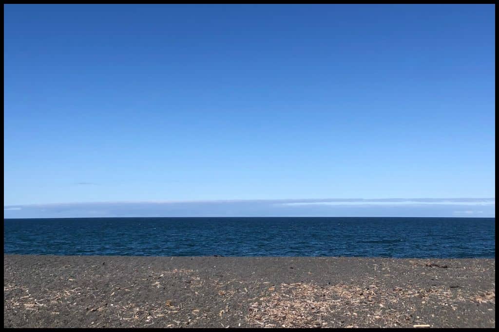
Best Beaches in the South
These next beaches are further down the coastline of the Hawkes Bay region, below the populated areas of Hastings and Napier, and below Cape Kidnappers as well. If you are continuing southbound on your way into the Wairarapa area of the Wellington region, pick one or two of these to check out.
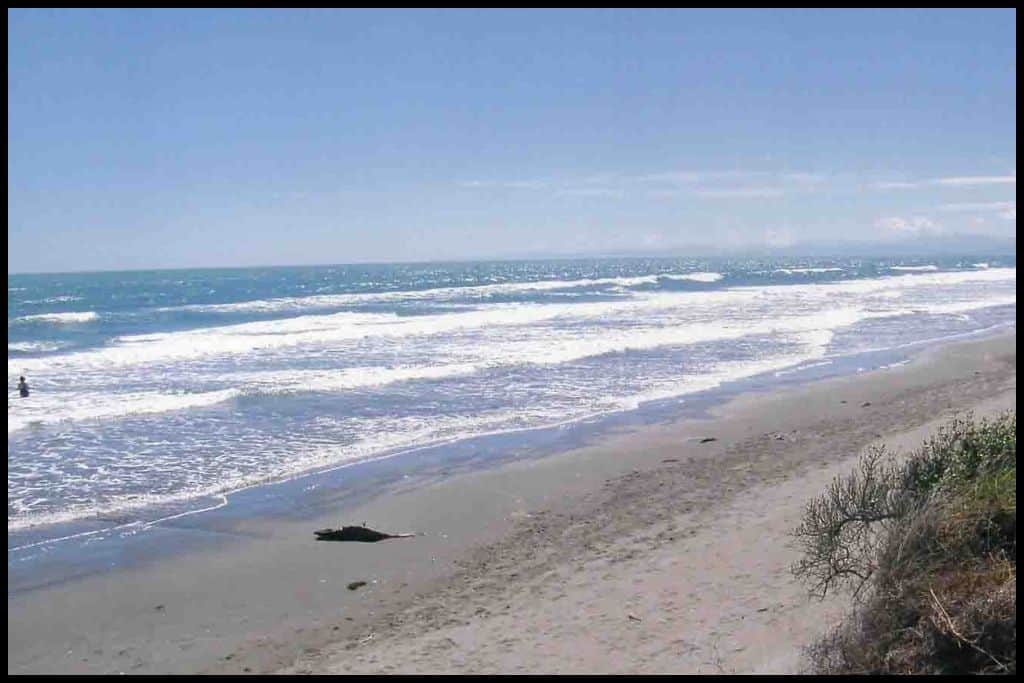
⛱️ Waipuka Beach / Ocean Beach
General Location: Waipuka Beach sits on the east coast of New Zealand’s North Island, in the southwestern corner, immediately below the sweeping Hawke Bay. Nearest Civilisation: Havelock North is 17 minute drive from Waipuka Beach (17 kilometres, or 11 miles).
Immediate Surroundings: Waipuka Beach sits immediately below Cape Kidnappers, which marks the southern point of Hawke Bay – the one the whole region is named after. Waipuka Stream ends at Waipuka Beach / Ocean Beach. Beach Name: Waipuka means ‘water splashing’, which makes sense given the Waipuka Stream trickles out onto Waipuka Beach.
Getting There: Access to Waipuka Beach from Havelock North is via Waimarama Road and then Ocean Beach Road. Vehicle Parking: There is lots of vehicle parking at Waipuka Beach – for day visitors only. You cannot stay overnight.
Walking Options: A short walk option is the Ocean Beach Walking Trail – you can do just 2 kilometres (1 mile) – and is a half an hour long walk. Swimming: Waipuka Beach is a much loved swimming beach. Lifeguards patrol in summer so it is best to swim when they are on duty, as there are still strong currents. However, the quality of the water in the stream is not safe for swimming.
Surfing: The surfing is great at Waipuka Beach. Dogs: Dogs are welcome at Waipuka Beach but need to be on lead during peak times. Amenities: Toilets are available at Waipuka Beach.
Camping: Campsite ‘Ocean87’ is not far up the road from Waipuka Beach. Go, Because: Waipuka Beach is loved by surfers, swimmers, and families alike. Such a good all-rounder beach!! Something Extra: Waipuka Beach is also a great fishing beach – cast a line out if you have the means. Last Updated: May, 2026.
⛱️ Waimārama Beach
General Location: Waimārama Beach is located on the North Island’s east coast, south of the East Cape, south of Hawke Bay, and south of Cape Kidnappers, at the bottom of the region. Nearest Civilisation: Waimārama Beach is a half hour drive from Havelock North – 28 kilometres, or 17 miles.
Immediate Surroundings: Waimārama Beach is where Pouhōkio Stream meets the sea. The beach opens out into the Pacific Ocean. It sits just south of Hawke Bay, the bay that Hawkes Bay region is named for. Bare Island sits 2 kilometres (1.2 miles) off shore.
Beach Name: Waimārama translates to ‘moonlight on shining water’. Getting There: Waimārama Beach is accessed across the Waimārama Domain or along the road front. Vehicle Parking: There is abundant free vehicle parking at Waimārama Domain.
Walking Options: There’s a beautiful coastal track linking Waimārama Beach with Ocean Beach to the north. It’s 7.5 kilometres (5 miles) one way – so you’ll need four and a half hours for the return trek and to go a couple of hours either side of low tide.
Swimming: There is great swimming at Waimārama Beach. Lifeguards patrol during summer, so this is the best time to in – when you are under their watch. Rainfall can affect water quality due to nearby streams and contamination, so don’t swim if it’s rained in the last 2 days.
Surfing: There is good surfing at Waimārama Beach. Dogs: Dogs can use the southern end of Waimārama Beach in the evenings and early mornings, otherwise need to be walked at the northern end of the beach. Amenities: There are showers, toilets and changing rooms at Waimārama Beach as well as a playground, picnic area and barbecues for use.
Camping: Nearby Waimārama Holiday Park is the best place to stay for campers. Go, Because: Like Waipuka Beach, Waimārama Beach is also a good all-rounder! You’ll be able to see Bare Island (otherwise known as Motu-o-Kura) from here, which can be accessed by kayak or boat if you are confident taking yourself out there safely.
Something Extra: If you do go to the island, keep an eye out for our native little blue penguins. Last Updated: May, 2026.
⛱️ Kairakau Beach
General Location: Kairakau Beach is located south of The North Island’s East Cape, south of Hawke Bay and Cape Kidnappers – and still further south, beneath Waimarama Beach. This stretch of coastline is very isolated as the main highway down into the neighbouring Manawatu-Whanganui region returns to running a significant distance inland. Nearest Civilisation: Kairakau Beach sits well off the main highway, and is a fifty minute drive from the nearest real civilisation – Havelock North (50 kilometres, or 31 miles) – or 40 minutes from the town of Waipukurau, which is 45 kilometres (28 miles) inland.
Immediate Surroundings: Kairakau Beach opens out into the Pacific Ocean, and is the site where the Mangakuri River meets the Pacific (via the Kairakau Lagoon). The Hinemahanga Rocks sit off shore, only less than a kilometre away – 800 metres – a little under half a mile. There’s three of them, namely, Hinemahanga, Waimātai, and Tokaroa. They’re over 100 million years old and they can be accessed by watercraft.
Beach Name: Kairakau translates to ‘food from the trees’ and is assumed to be in reference to there being lots of food and trees there historically. Getting There: Kairakau Beach is accessed off Kairakau Beach Road, after the turn off at Elsthorpe. Vehicle Parking: There is lots of vehicle parking at Kairakau Beach.
Walking Options: Stroll 15-30 minutes north up Kairakau Beach at low tide, to access Waterfall Bay. If the tide is in, there is a clifftop track you can ascend as an alternate option. Swimming: Locals love swimming at Kairakau Beach, but currents on this coastline can be strong. Swimming is not recommended at the river mouth due to water quality.
Surfing: Surfers will enjoy the breaks at Kairakau Beach. Dogs: Dogs generally need to be on a leash in most areas of Kairakau Beach and not on the beach during peak hours in summer. Amenities: Toilets, changing rooms, a picnic area and a small playground are available at Kairakau Beach.
Camping: Kairakau Campground is located close by to Kairakau Beach, but freedom campers in self contained vehicles are also welcome to stay at Kairakau Beach. Go, Because: Kairakau Beach has some impressive cliffs behind it, some rock pools to explore at low tide, and a campground in close proximity – a spot that definitely deserves time to be thoroughly explored.
Something Extra: The fishing is excellent around the Hinemahanga Rocks so definitely aim to spend some time out there. Last Updated: May, 2026.
⛱️ Pourerere Beach
General Location: Pourerere Beach is located on the North Island’s east coast, south of Hawke Bay, as the coastline heads back in a southwestern direction. Nearest Civilisation: Pourerere Beach is best accessed from the town of Waipukurau, a 40 minute drive away (42 kilometres, or 26 miles).
Immediate Surroundings: Pourerere Beach is backed by the Ikanui Stream, which feeds the tidal Pourerere Beach Lagoon. The beach opens out into the Pacific Ocean directly and is not contained within a bay. It’s just south of Paoanui Point, where a new subdivision is going in.
Beach Name: Pourerere translates to “a place of pouring”, likely given the stream pours into the lagoon here. Getting There: There is easy access to Pourerere Beach from Pourerere Beach Road, which runs along the waterfront.
Vehicle Parking: Abundant vehicle parking is available at Pourerere Beach.
Walking Options: Take two hours at low tide to head north to Paoanui Point – a 7.2 kilometre (4.5 mile) return wander. Swimming: The surf is actually quite shallow at Pourerere Beach so it’s a good swimming beach. There are no lifeguards at Pourerere Beach however, so swim with your wits about you.
Swimming in the lagoon is good too – except when recent rainfall compromises the water quality. (This can actually be affected quite a lot, so check online before your visit.) Surfing: Pourerere Beach is suitable for all levels of surfers.
Dogs: Dogs are allowed at Pourerere Beach as long as they are kept under control and away from the dunes. Amenities: Toilets and changing rooms are available at Pourerere Beach. Camping: Pourerere Beach campground is situated nearby, with freedom camping also welcome at the beach.
Go, Because: Pourerere Beach is a long stretch of idyllic coastline, popular with all types of beachgoers, and features a lagoon, where swimming is safer than in the surf. Something Extra: Some of our most endangered coastal birds live here. Keep an eye out for spoonbills and dotterels nesting in the dunes or feeding from the lagoon at high tide. Keep dogs away, and give a wide berth yourself. Heed notices on any signage you see – it’s to protect the birds who nest in the sand dunes.
Last Updated: May, 2026.
⛱️ Blackhead Beach
General Location: Blackhead Beach lies on the North Island’s eastern coast, under Hawke Bay, Cape Kidnappers, and all the beaches above. Nearest Civilisation: Although the small settlement of Aramoana is right on the shoreline of Blackhead Beach, you would veer off the main state highway at the town of Waipukurau, which is three quarters of an hour’s drive away (45 kilometres, or 28 miles).
Immediate Surroundings: Blackhead Beach opens out into the Pacific Ocean. Te Angiangi Marine Reserve lies toward its southern end. The Pukio Stream runs down onto the beach.
Beach Name: Blackhead Beach shares its name with a beach in Dunedin, Otago. The Maori name for the beach is Te Pariomahu, which translates to “the cliff of Mahu”, Mahu, being an early explorer. Sometimes that name is used for Pōrangahau Beach / Te Paerahi Beach, which is just south – and a separate beach, although it shares the cliffs.
Getting There: Vehicles need to cross the stream via the Blackhead Ford on their way down to Blackhead Beach.
Vehicle Parking: Yes! There is vehicle parking at Blackhead Beach. Walking Options: Consider making the return trip north to Aramoana Beach – a 6 kilometre (or 3.7 mile) walk there and back, that you’ll need a low tide and a spare two hours for. Swimming: The water quality at Blackhead Beach is fantastic, so swim, but be mindful of the currents that are strong on this coastline.
Surfing: Surfers of all levels can enjoy the breaks at Blackhead Beach. Dogs: Dogs need to be on a lead at Blackhead Beach as there is wildlife around. Amenities: Blackhead Beach has toilets available.
Camping: Blackhead Beach Camping Ground is located right on the beachfront. Go, Because: Blackhead Beach is part of the Te Angiangi Marine Reserve, the only marine reserve in the region, so its rock pools are worth a look – at low tide. Go and see what you can find – you may even see a stingray! Divers and snorkellers will enjoy the reef here.
Something Extra: Go in late winter / early spring to Blackhead Beach if you want to see the New Zealand fur seal on the rocks – and their babies! Just keep 20 metres from them. Last Updated: May, 2026.
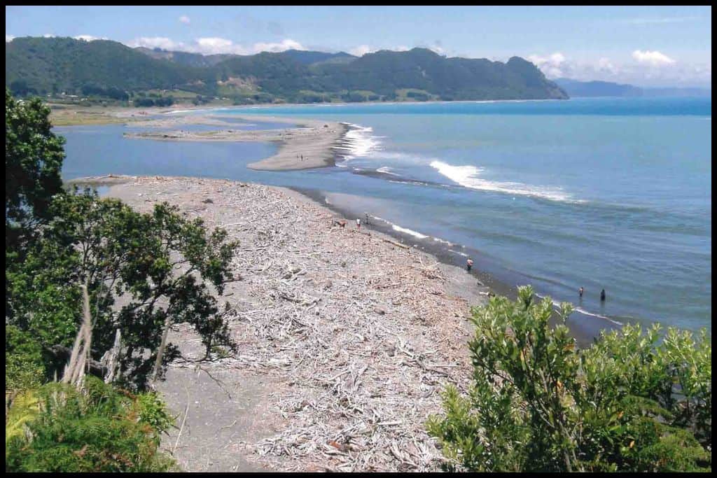
Whether you’re after a calm swim, a family-friendly beach, or somewhere to catch a wave, Hawke’s Bay has a solid set of choices. It’s a region that you can should really take your time to explore as you will keep finding new favourites along the way.