
Where Are The Best Beaches In Waikato, New Zealand?
Waikato’s coastal areas are quite contrasted, with its rugged black sand beaches on the west coast of the North Island, and its calm, sheltered white sand spots tucked in and around the Coromandel Peninsula over on the eastern side of the North Island. Here is your guide for where to go, whether you’re chasing big surf, hot water pools, or quiet – even secret – beaches to explore.
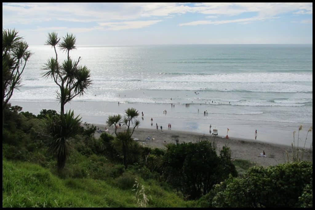
Best Beaches on the West Coast
The West Coast of the Waikato region is a continuation of that rugged coastline that comes down from the southwest areas of the Auckland region – think more black sand beaches, more pounding surf, more killer sunsets over the horizon in the West. This coastline is the Tasman Sea, a wide, vast horizon that stretches out to Australia.
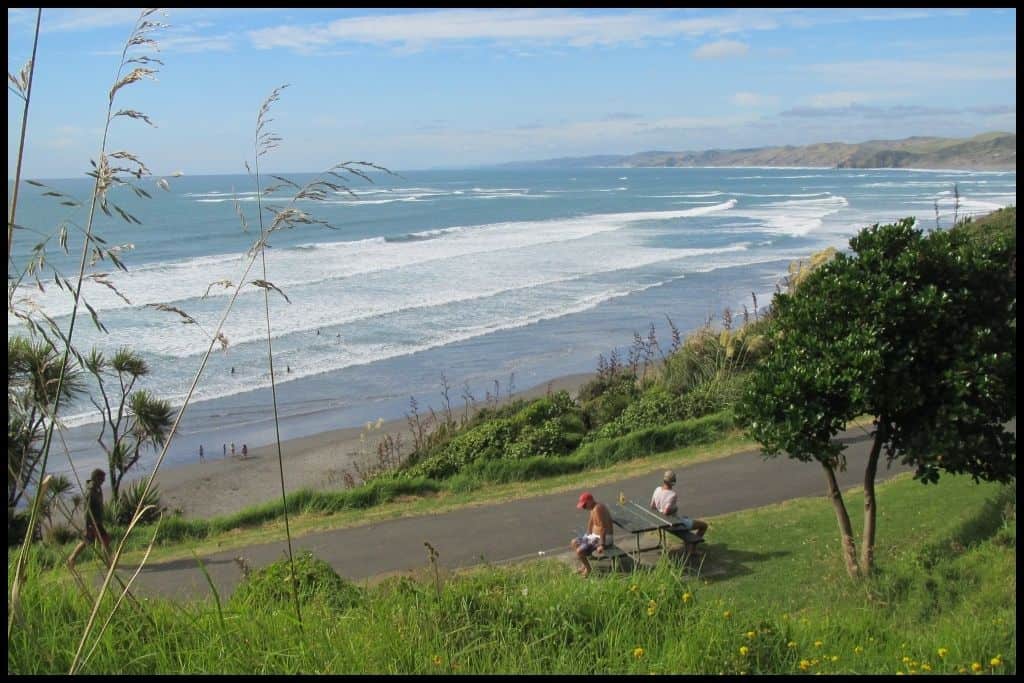
⛱️ Sunset Beach / Port Waikato Beach
General Location: Sunset Beach is located at the mouth of the mighty Waikato River where it meets the western coast of the North Island. Nearest Civilisation: Port Waikato is a settlement in and of itself, and Sunset Beach is contained within its bounds.
Immediate Surroundings: Sunset Beach lies immediately south of the Waikato River Mouth, below the Port Waikato sand dunes. Beach Name: Sunset Beach is named for its western facing direction – there are epic sunsets to be had there! Getting There: Sunset Beach is easily accessed from the carpark at the surf life saving club in the Port Waikato village.
Vehicle Parking: There is a big carpark at Sunset Beach. Walking Options: The Port Waikato Dunes Walk is 6 kilometres (3.8 miles) and will take you a bit over an hour to head into the dunes and back. Swimming: Swimming at Sunset Beach should be done under the patrol of the surf life saving club, during peak season, as the west coast can be quite rugged and dangerous.
Surfing: There is great surfing at Sunset Beach. Dogs: Dog exercise areas are available at each end of Sunset Beach in designated areas. Amenities: Sunset Beach has public toilets, a nearby holiday park and surf life saving club – with a shop and the remainder of the settlement’s amenities a walkable distance away.
Camping: Campers can stay at the nearby Port Waikato Holiday Park. Go, Because: Sunset Beach – also known as Port Waikato Beach – is an impressive black sand beach, with its raging West Coast surf, and is a favourite with surfers and swimmers. Lifeguards patrol here, which is just as well, as some of those currents can be strong!
Something Extra: You can also walk to the mouth of the Waikato River – which is New Zealand’s longest river. There’s interesting rocks to explore when the tide recedes, impressive cliffs and sand dunes, good fishing, and abundant bird life. Last Updated: June, 2026.
⛱️ Ngārunui / Ocean / Main / Wainui Beach
General Location: Ngārunui Beach is located on the North Island’s west coast, at the entrance to the Raglan Harbour, which sits south of the slightly bigger Kaipara and Manukau Harbours in the more northern regions. Nearest Civilisation: The beach town of Raglan is a ten minute drive from Ngārunui Beach – 5 kilometres, or 3 miles.
Immediate Surroundings: Ngārunui Beach sits at the entrance to the Raglan Harbour, adjacent to Manu Bay. Beach Name: Ngārunui Beach translates to ‘big waves’ – a giveaway for the excellent surfing here. Ocean Beach and Main Beach are rather obvious alternative names, and Wainui Beach, as it is also known by, means ‘big water’. Getting There: Access to Ngārunui Beach is off Ngārunui Beach Road, off Wainui Road.
Vehicle Parking: There is lots of vehicle parking for Ngārunui Beach at the Wainui Reserve. Walking Options: The Ngārunui Beach Walk is a 1.6 kilometre (1 mile) return walk and will take you about half an hour, return. Swimming: Ngārunui Beach boasts great swimming – but its important to swim between the flags while lifeguards patrol in summer as the rips can be quite dangerous on this stretch of coastline.
Surfing: Arguably Ngārunui Beach is one of the best surfing beaches in the country!! Dogs: Dogs can be off lead at Ngārunui Beach down near the Wainui Reserve but need to be on a lead at the other end of the beach. Amenities: Toilets and changing rooms are available at Ngārunui Beach.
Camping: No freedom camping is permitted at Ngārunui Beach but Raglan Holiday Park – and several others – are just a short drive away. Go, Because: This Raglan beach – with its many names! – caters to surfers of all levels and has surf schools operating there, making it an all-rounder surfie destination, whether you are a pro or an amateur. I took a surf lesson here in 2013 and it was a lot harder than in Hawaii, where the breaks were even more beginner friendly, but it is a good place to learn regardless, and arguably one of the best surfing spots in the country.
Something Extra: Head up to the Wainui Reserve Lookout for fantastic views down over Ngārunui Beach. Last Updated: June, 2026.
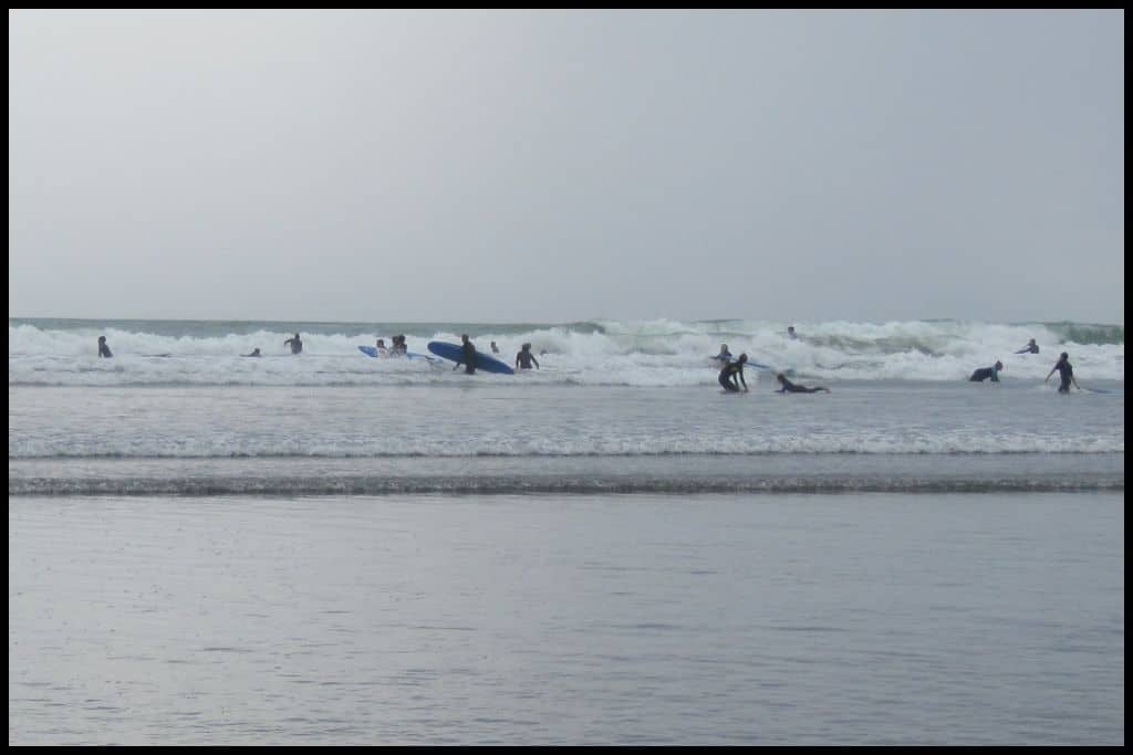
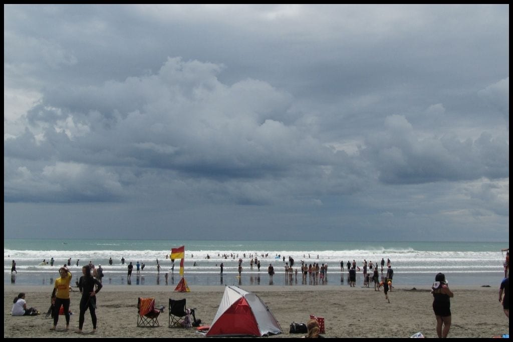
⛱️ Kāwhia Hot Water Beach / Ocean Beach
General Location: Kāwhia Hot Water Beach sits on the North Island’s west coast, at the mouth of the Kāwhia Harbour. Nearest Civilisation: The town of Kāwhia is less than a ten minute drive from Kāwhia Hot Water Beach – 3.5 kilometres, or 2 miles.
Immediate Surroundings: Kāwhia Hot Water Beach sits on the ocean facing edge of the Kāwhia Peninsula, which encloses the Kāwhia Harbour. Beach Name: Kāwhia Hot Water Beach – also known as Ocean Beach – is named for the hot water that can be found when you dig down into the sand at low tide. The beach is also known as Te Puia Springs – with Te Puia translating to ‘hot spring’. Getting There: Kāwhia Hot Water Beach is accessed from the end of Te Puia Road as you leave Kāwhia township. There’s a steep, but short, track to the beach. Allow fifteen minutes to half an hour for the 1 kilometre (half a mile) track.
Vehicle Parking: There is vehicle parking for Kāwhia Hot Water Beach at the end of Te Puia Road, from where you need to take a short track toward the sand. Walking Options: While in the area, complete the Kāwhia Walk – a harbourside waterfront walk that is 1.3 kilometres (just over half a mile) long. Swimming: Yes! Kāwhia Hot Water Beach is a little unique – you’ll be able to dig your own pool in the sand at low tide and soak in a hot spring all of your own!
Surfing: Expert surfers will enjoy Kāwhia Beach – beginners, not so. Dogs: Dogs need to be on a lead at Kāwhia Hot Water Beach and kept away during summer – also in consideration of the hot spring water, the hot black sand, and their sensitive paws. Amenities: Toilets, a shower and a changing room are available at Kāwhia Hot Water Beach.
Camping: Campers can stay at nearby Kāwhia Campground on the harbour side of the peninsula. Go, Because: This quieter alternative to the more famous Hot Water Beach on the Coromandel Peninsula is quite a unique place to visit, with its black sand, epic sunsets, views over the Tasman Sea, and most importantly, the hot water that will fill any little pool you can manage to dig two hours either side of low tide. The one on the Coromandel Peninsula is much more famous and can get crowded – why not head west instead, and try this one out?
Something Extra: Bring a spade, and go within two hours of low tide to dig your own pool. Bring a beverage too, to enjoy while you enjoy the fruits of your labour! Last Updated: June, 2026.
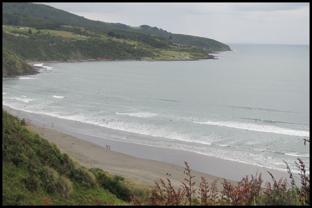
Best Beaches on the Coromandel Peninsula
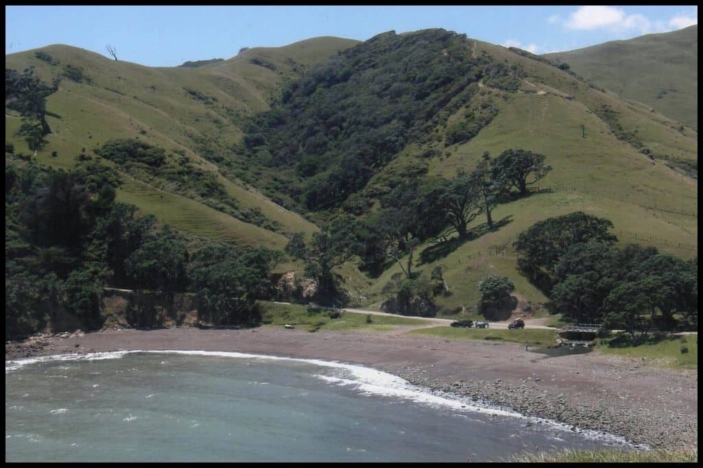
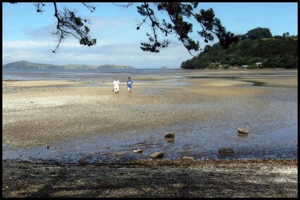
The Coromandel Peninsula has got to be one of the best beach destinations, not just in the region, but in the entire country. A hotspot for holidaymakers from all over the upper North Island, I have spent many a summer on these beaches. You really are spoilt for choice here, but these beaches next would be the best:
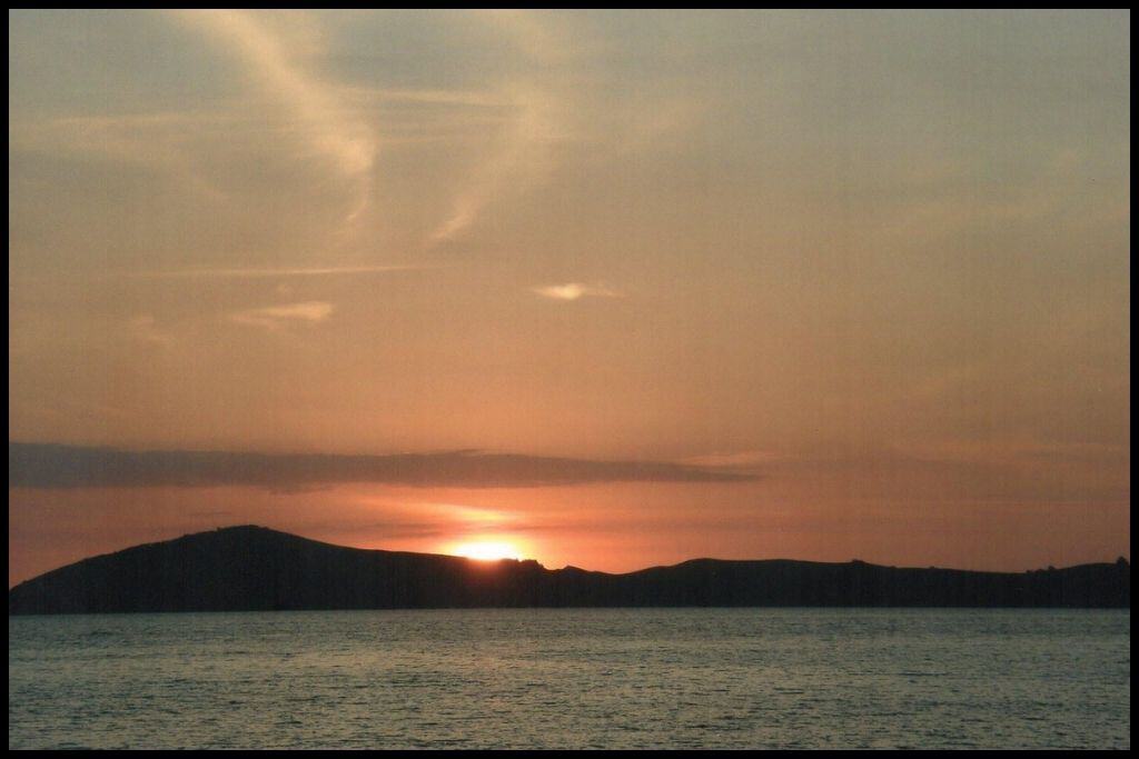
⛱️ Ōamaru Bay
General Location: Ōamaru Bay sits on the western side of the North Island’s Coromandel Peninsula. Nearest Civilisation: Ōamaru Bay is 6.5 kilometres (4 miles) north of Coromandel Township, which is where the main highway traverses the peninsula and carries on southbound down the eastern side (although you can still continue north on rougher roads..)
Immediate Surroundings: Ōamaru Bay faces out into the Hauraki Gulf. Turkey Island sits 1.5 kilometres (1 mile) approximately offshore. Beach Name: Ōamaru translates to ‘the place of Maru’. Getting There: Ōamaru Bay is accessed directly from Colville Road, that runs the coastline.
Vehicle Parking: There is some vehicle parking at Ōamaru Bay. Walking Options: Head over to neighbouring Shelley Beach at low tide. Swimming: There is great, safe swimming to be had at Ōamaru Bay.
Surfing: There is no surf at Ōamaru Bay. Dogs: Dogs need to be on a lead during daytime in summer at Ōamaru Bay. Amenities: Toilets are available at Ōamaru Bay.
Camping: Coromandel Shelley Beach Top 10 Holiday Park is just one bay over! We stayed there in the summer of 2011. Ōamaru Bay Tourist Camp is close as well.
Go, Because: Ōamaru Bay makes the cut as it is really close to the main Coromandel township, has a stretch of calm water, and is a lovely relaxing swimming beach with lots of accommodation options nearby. Its the easy, accessible option! Something Extra: If you have your own watercraft, paddle on out to Turkey Island for a look. Last Updated: June, 2026.
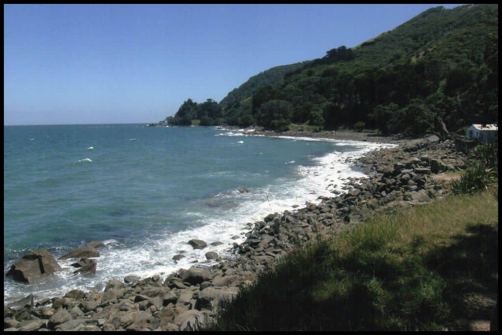
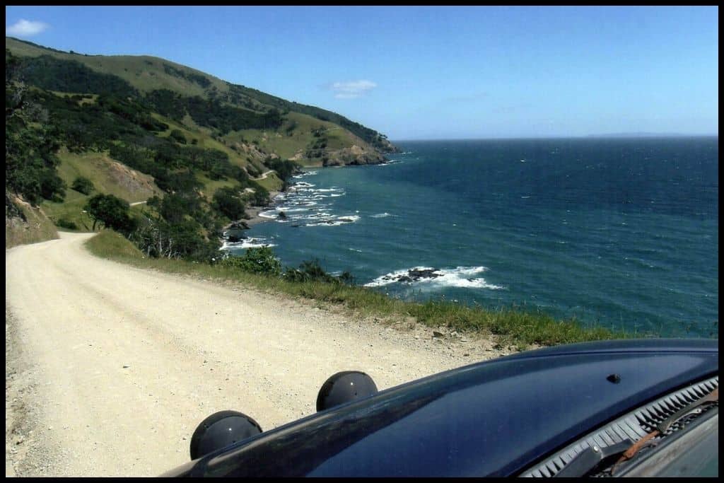
These next three beaches are all right at the top of the peninsula. They’re remote, they’re a bit of a drive, and a little more unspoilt and isolated as a result. The drive up to Fletcher Bay can be a little hairy – think narrow, cliffside one-way roads – but if you’re up for a bit of an adventure, go for it.
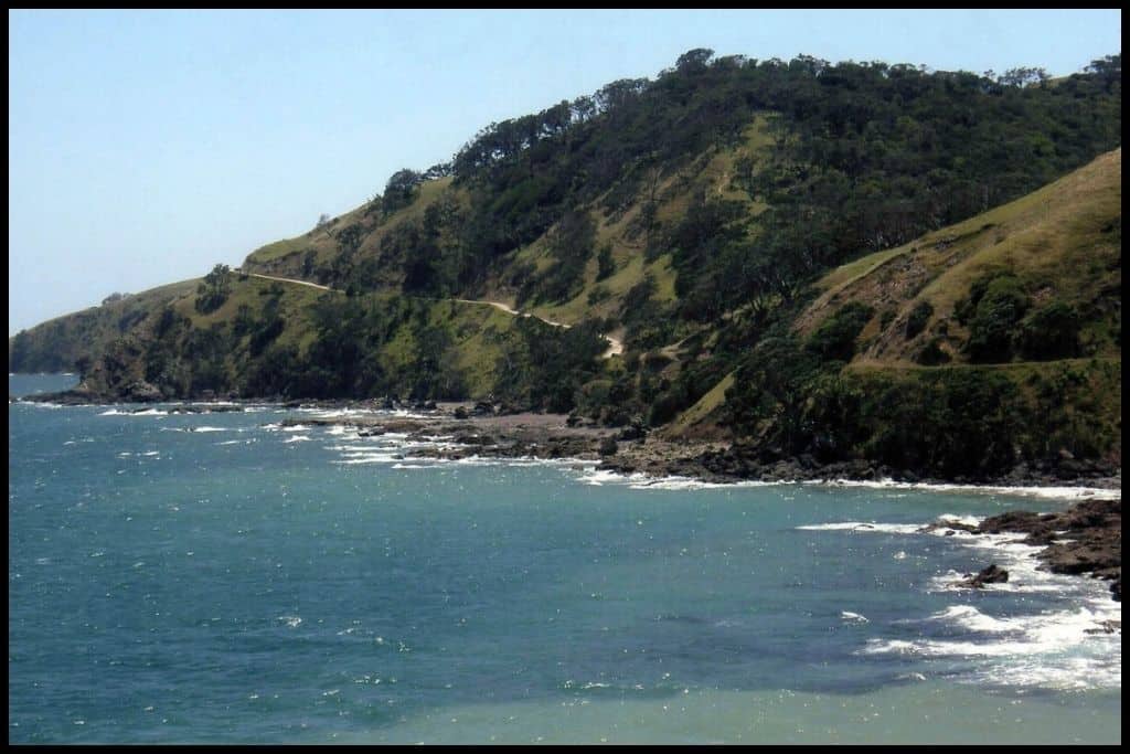
⛱️ Fletcher Bay
General Location: Fletcher Bay sits right at the top of the Coromandel Peninsula on the east of the North Island. Nearest Civilisation: The small town of Colville is an hour south of Fletcher Bay via Port Jackson Road – a hairy drive that is 29 kilometres (18 miles) but will still take you an hour.
Immediate Surroundings: Fletcher Bay is one of the northernmost bays of the Coromandel Peninsula, opens into the Hauraki Gulf, and looks out to Great Barrier Island. Beach Name: Fletcher Bay takes its name from one of the families that settled the area historically. Getting There: Access to Fletcher Bay is via the coastal Colville Road as it winds its way up to Colville, and from there, Port Jackson Road.
Vehicle Parking: Yes, there is vehicle parking at Fletcher Bay. Walking Options: Fletcher Bay is one end of the popular Coromandel Coastal Track, which is a 10 kilometre (6 mile) walk down the peninsula to Stony Bay – which takes 3.5 hours one way, or 7 hours return. Swimming: The swimming at Fletcher Bay is safe and very picturesque.
Surfing: There is no real surf to speak of at Fletcher Bay. Dogs: Dogs are banned from Fletcher Bay. Amenities: Basic toilets and showers are the only amenities at Fletcher Bay.
Camping: The Department of Conservation operates nearby Fletcher Bay Campsite. Go, Because: Fletcher Bay is remote and isolated – with magical scenery, sitting right at the top of the Coromandel Peninsula. It’s the last stop along the Port Jackson Road, and a starting point for the Coromandel Coastal Walkway down to Stony Bay, if you want to see even more by foot.
Something Extra: Fletcher Bay is known for great snorkelling! Take gear! Last Updated: June, 2026.
⛱️ Stony Bay
General Location: Stony Bay is at the northern tip of the Coromandel Peninsula, quite a remote part of the region, and is on the northeastern facing edge of the peninsula.
Nearest Civilisation: Apart from the tiny settlement of Port Charles, the nearest real town to Stony Bay is that of Colville – certainly the last stop for groceries before you get to the much more remote northern end of the Coromandel Peninsula. Colville is just 20 kilometres (12.5 miles) from Stony Bay but the winding, metal road can take you up to an hour and a half to drive! Immediate Surroundings: Stony Bay opens out into the Colville Channel separating the Coromandel Peninsula from Great Barrier Island.
Beach Name: Stony Bay is named for the stones that form the foreshore. Getting There: Access to Stony Bay is via winding, unpaved road – many rental car companies forbid visitors to take their rental cars north of Colville, but if you have your own vehicle, it’s one beautiful drive.
Vehicle Parking: There is some vehicle parking at Stony Bay. Walking Options: Stony Bay is the other trailhead for the Coromandel Coastal Route – a seven hour (return) trek up to Fletcher Bay and back. It’s a popular 10 kilometre one way (6 mile one way) route but not for the faint of heart!
Swimming: Stony Bay is swimmable but rockier and not as swimmable as the likes of Waikawau or Fletcher Bay. Surfing: There is no surf at Stony Bay. Dogs: Dogs are banned from Stony Bay.
Amenities: Stony Bay has a tap and toilets, and the Department of Conservation has a bach you can actually hire out if you want proper shelter.
Camping: The Department of Conservation operates the Stony Bay Campsite here which is used by keen fishermen, divers, snorkellers and hikers undertaking the coastal trail. Go, Because: Stony Bay is the other trailhead for one of the country’s best coastal walks. There’s good camping, fishing and diving here, and a stream for little ones to wade in.
Something Extra: Confident divers may be interested in exploring the underwater caves down the Tuateawa Coast, just south of Stony Bay, while those with watercraft may wish to head out to the island named Big Ben – it’s a walkable traverse at low tide, and however you get there, it’s a trip made worthwhile by the large, beautiful rock pool that adventurers love to swim and dive in. Your visit needs to be timed with the tides, obviously, and any other measures taken to ensure you keep you and your party safe.
Last Updated: June, 2026.
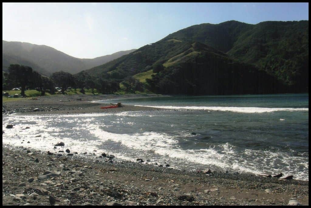
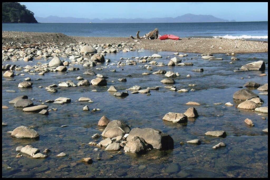
⛱️ Waikawau Bay Beach
General Location: Waikawau Bay Beach is located at the northern tip of the Coromandel Peninsula on the North Island. Nearest Civilisation: The nearest town with any real facilities is Colville, which is just under an hour’s drive away, despite only being 32 kilometres (20 miles) away – the roads are windy and this part of the peninsula is quite remote.
Immediate Surroundings: Waikawau Bay, also referred to as Waikawau Beach, is the predominant beach located in Waikawau Bay on the northeast edge of the Coromandel Peninsula. (Next door is Little Bay, or Little Bay Beach). Waikawau Bay Farm Park Recreation Reserve sits a little inland, and the Waikawau River winds down to the bay, creating the Waikawau Bay Estuary, a wetland supporting an abundance of native birdlife.
Beach Name: Don’t confuse Waikawau Bay and its beach for Waikawau/Tunnel Beach (also referred to as Marokopa Tunnel Beach) which is on the west coast of the North Island. The name translates to mean the waters where partcular coastal diving birds – notably, shags and cormorants – reside. Getting There: Access to Waikawau Beach is from Waikawau Beach Road, which comes off Port Charles Road as you come out of Colville (and off Colville Road).
Vehicle Parking: There is vehicle parking at Waikawau Bay for day trippers, separate spots for freedom campers, and the adjacent campground for Department of Conservation campsite campers. Walking Options: A nearby walk is the 6.5 kilometre (4 mile) loop – a three hour track starting in the pump paddock behind the campsite. Swimming: Waikawau Bay Beach is a fantastic spot for swimming. There’s a swimming hole at the end of the Matamataharakeke Stream, too.
Surfing: Despite the relatively curved and sheltered shape of Waikawau Bay, there are still some breaks there. because of its oceanside location! Dogs: Dogs are banned at all times from Waikawau Bay. Amenities: Toilets at the boat ramp at Waikawau Bay are available for anyone to use who does not have access to the campground facilities.
Camping: The Department of Conservation operates the Waikawau Bay Campground, right on the beach. A whole group of us stayed there to see in the New Year in 2017 – it’s huge! Go, Because: The location of Waikawau Beach right up the top of the Coromandel Peninsula lends itself to that remote, untouched feeling. There’s a big campsite operating here, too – we spent New Years here in 2017. Next door is Little Waikawau Beach, Waikawau’s mini-me, another little slice of white sand paradise.
Something Extra: Waikawau Bay is also loved by kayakers and fishermen – so bring your gear with you if you plan to spend a couple of days up here! Last Updated: June, 2026.
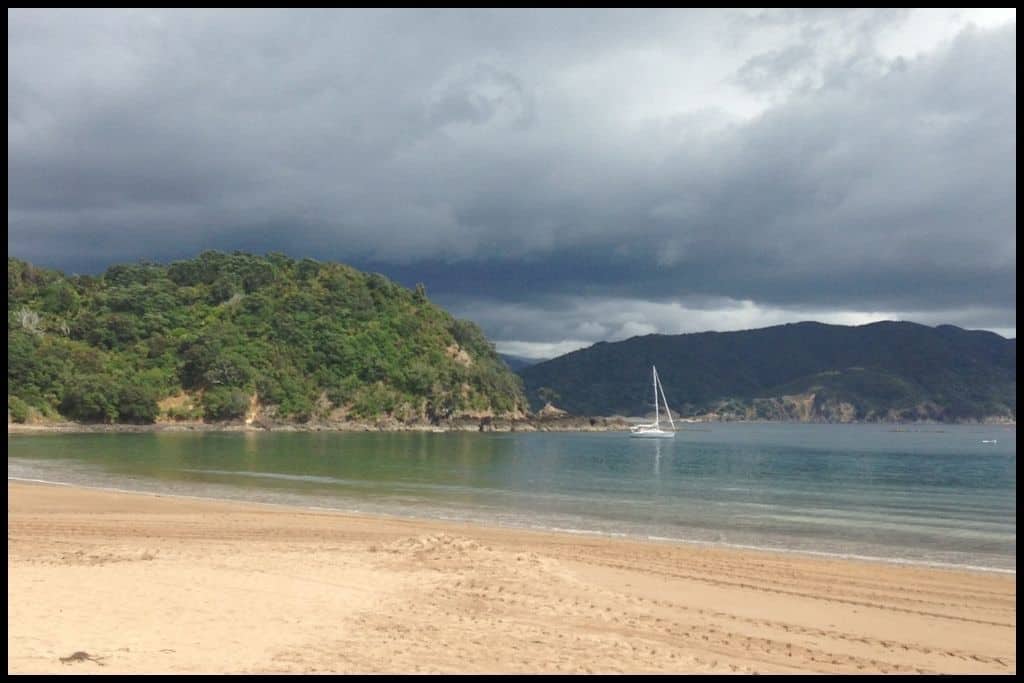
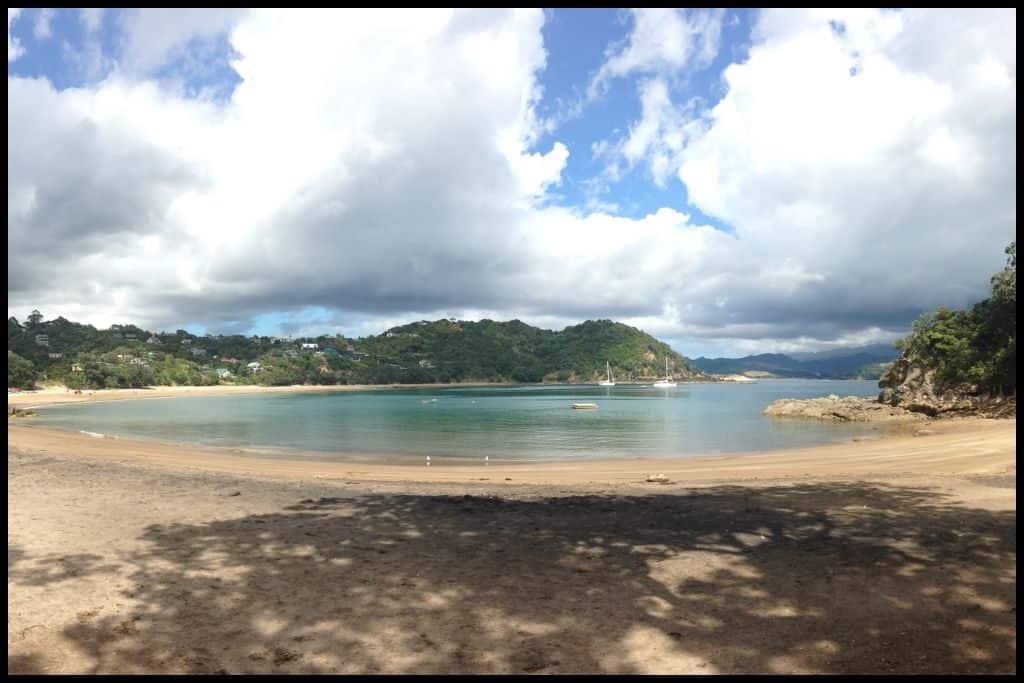
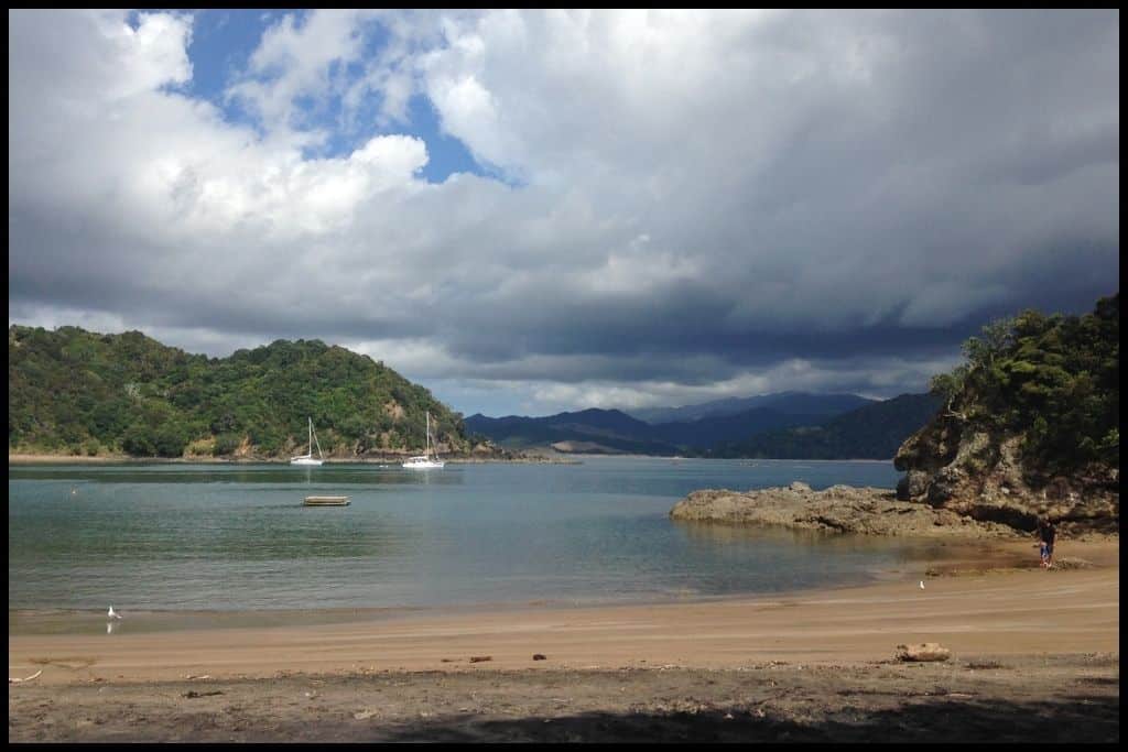
Moving down the eastern coast of the Coromandel Peninsula now, we have a trio of beaches, all fabulous in their own right:
⛱️ New Chums Beach / Wainuiototo Bay
General Location: New Chums Beach is located on the eastern side of the Coromandel Peninsula – it’s a little north of the Kūaotunu Peninsula, which juts out to the right. Nearest Civilisation: Aside from the little settlement of Whangapoua, the closest township is that of Coromandel Township, a 25 minute drive away (20 kilometres, 12.5 miles).
Immediate Surroundings: Immediately below New Chums Beach is Whangapoua Beach, with the Whangapoua Harbour and Matarangi Beach below that. Beach Name: New Chums Beach’s other name is Wainuiototo Bay, translates to ‘big water of blood’. The beach was a stopping point for new sailors and immigrants arriving in the early settler days and the beach was named by the Europeans after these new arrivals (new chums).
Getting There: New Chums Beach is a bit special because it is only accessible on foot, from nearby Whangapoua Beach. It’s only a kilometre (half a mile) but considered a 25 -30 minute walk because of the stream crossing and rock hopping involved (it’s a low tide walk). Vehicle Parking: There is no vehicle parking at New Chums Beach due to it being accessible by walking track only.
Walking Options: Walking over to New Chums from Whangapoua Beach will take you 25 minutes, but half way there is the worthwhile turnoff up to Motuto Point, a steeper ascent which provides epic views over the coastline. It is quite a scramble (an 80 metre ascent) and will take you 20 minutes to ascend. Swimming: New Chums Beach is such a favourite for swimming, because of its crystal clear waters.
Surfing: Yes! There are breaks at New Chums Beach – but with the walk involved over the headland, you would be best to paddle around to the beach. Dogs: Dogs are not permitted at New Chums Beach. Amenities: There are no facilities at New Chums Beach – you need to take everything you’ll need with you.
Camping: There are no campsites at New Chums Beach, but it is a popular short excursion for those camping at the neighbouring Whangapoua Beach. Go, Because: New Chums Beach has been voted as one of the best 10 beaches in the world, and features often in ‘best beach’ lists, both nationally and internationally. It is increasingly popular, but still has the secluded feeling as you can only get there by foot, and sometimes even dolphins can be seen in the surf.
Something Extra: There’s some 9 million year old columnar basalt rock at the southeastern end of New Chums Beach – that’s the end you’ll enter from – and be sure to check out the rock pools on the beach, too! Last Updated: June, 2026.
⛱️ Whangapoua Beach
General Location: Whangapoua Beach sits a third of the way down the eastern coast of the Coromandel Peninsula – right above the Kūaotunu Peninsula, jutting out to the east. Nearest Civilisation: Whangapoua Beach is nearest to the Coromandel Township, which is a 25 minute drive away (20 kilometres, or 12.5 miles).
Immediate Surroundings: Whangapoua Beach is at the entrance to the Whangapoua Harbour, which separates it from the equally popular Matarangi Beach, to the south. Beach Name: Whangapoua translates to “bay of the poua” (shellfish). Whangapoua Bay is the name of a bay on the nearby Great Barrier Island, but is a separate place altogther. Getting There: Whangapoua Beach is accessed from the loop that is State Highway 25; what with the beach and settlement sitting just north of the highway, you can easily approach it from the highway as it runs up the west of the Coromandel Peninsula, or as it runs up the eastern side.
Vehicle Parking: There’s a big carpark at the upper end of Whangapoua Beach – used by walkers to New Chums Beach, also. Walking Options: Aside from the popular, 25 minute, 1 kilometre (half a mile) low tide crossing to New Chums Beach – one of the most famous coves in the country, world-known for its crystal clear water – another great option is the Opera Point Walk. This one follows a historic tramway in the directio of the harbour entrance and is a 1.5 kilometre (1 mile) loop, which you should allow 40 minutes for. It’ll take you up to a sawmill site from 1862!
Swimming: Whangapoua Beach is loved amongst swimmers – some of our best boogie boarding of our Coromandel camping trip in 2011 was done at Whangapoua Beach, in fact! Just bear in mind that there are no lifeguard patrols here. Surfing: Surfers alike will love Whangapoua Beach too, for its breaks.
Dogs: Dogs can be off lead at Whangapoua Beach so long as they are under control and it is not peak time (summer and holiday weekends). Amenities: There are two lots of toilets at Whangapoua Beach, with a nearby general store and petrol station.
Camping: Whangapoua Holiday Park and the Department of Conservation operated Whangapoua Beach Campsite are the go-to spots for campers visiting. Go, Because: Whangapoua Beach is a much loved beach with its quintessentially-Coromandel white sand, safe swimming, and clear waters. It’s also the access point over to the renowned New Chums Beach and has a lagoon as well, meaning you can swim away from the waves and currents if you are not so confident.
Something Extra: The Whangapoua Harbour / Whangapoua Estuary / Whangapoua Lagoon at the southern end of Whangapoua Beach offers calmer waters for swimmers and watercraft – a family friendly spot that lends itself well to paddling! Last Updated: June, 2026.
⛱️ Matarangi Beach
General Location: Matarangi Beach is another favourite for summer beach breaks and is located on the eastern coastline of the Coromandel Peninsula, about a third of the way down from the top. Nearest Civilisation: A 25 minute drive away (20 kilometres, or 12.5 miles), the nearest township to Matarangi Beach is the township of Coromandel itself.
Immediate Surroundings: Matarangi Beach lies across the Whangapoua Harbour from Whangapoua Beach. One of its best features is the Matarangi Spit at the eastern end, a big sandy expanse separating the ocean from the harbour, home to lots of native birds like dotterels, godwits and oyster-catchers. Beach Name: Matarangi translates to “the face of the sky”.
Getting There: Matarangi Beach is accessed via the looped State Highway 25 – whether that be up the highway along the western side of the Coromadel Peninsula, or up the eastern side (as it sits sort of near the top of the loop). Vehicle Parking: Lots of free parking is available at Matarangi Beach but can still fill up fast in the ever-popular summer season!
Walking Options: Definitely make a point of heading up the Matarangi Bluff! Allow half an hour to three quarters of an hour and be prepared for some staircases! Looping back to Matarangi Beach is around 2 kilometres (1.2 miles).
Swimming: The offshore Mercury Islands make Matarangi Beach relatively safe and sheltered for swimmers. The water is a stunning turquoise along in this stretch of coastline and a truly beautiful place for a swim.
Surfing: Matarangi Beach is popular amongst surfers. Dogs: Dogs are very welcome to be off lead at Matarangi Beach but need to remain under control, kept away from the birdlife which often nest in the dunes, and off the beach during the day in peak season. Amenities: Toilets, cold showers and a boat ramp are available at Matarangi Beach, and the adjacent coastal reserve, the Matarangi Village Green, has a playground, picnic areas, and a Sunday morning market during summer.
Camping: Freedom campers can stay on the harbour side of Matarangi at a designated spot. Go, Because: Over the warmer months, the popular Matarangi Beach is home to a colony of New Zealand dotterel birds. It is a favourite holiday destination beach for many Kiwis and shares those beautiful sandy shorelines with the other Coromandel beaches on this list. There’s great bike paths nearby, good fishing here – and would be considered generally one of the better Coromandel beaches for its great swimming and surf. Dolphins and orcas have been seen here, so it does happen!
Something Extra: Do wander down to the eastern end of Matarangi Beach to have a look at the birds nesting on the Matarangi Spit. Last Updated: June, 2026.
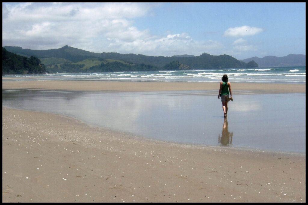
The next trio of beaches sit together on the land that juts out into the east (it’s the Kūaotunu Peninsula) and it’s between Matarangi and Whitianga as you come down the eastern coast of the Coromandel Peninsula. Visit one, two, or all three – they’re all next to each other and easy to see in one hit.
⛱️ Ōtama Beach
General Location: Ōtama Beach is located on the Coromandel Peninsula – midway down the eastern coast, out on the Kūaotunu Peninsula. Nearest Civilisation: The town of Whitianga is a half hour drive from Ōtama Beach (20 kilometres, or 12.5 miles).
Immediate Surroundings: Ōtama Beach is located on the headland between summer hotspots Whangapoua (to the north) and Whitianga (to the south), although a slight detour off the main State Highway 25 is required to get there. The Ōtama River finishes at the beach, culminating in the Ōtama Estuary/Lagoon. Beach Name: Ōtama simply translates to “place of Tama”. Getting There: Ōtama Beach is accessed from Black Jack Road, a detour off the main highway.
Vehicle Parking: There are two parking spots for Ōtama Beach – one at the bottom of the hill, and one a further half kilometre along. Walking Options: While you’re here, consider the Ōtama Beach Walk. It’s 5 kilometres – 3 miles – and will take you a couple of hours return as it takes you through the dunes, into the estuary and back to the beachfront.
Swimming: The water is crystal clear at Ōtama Beach so lovely for swimming but it does not have a lifeguard patrol and does drop off steeply, so be mindful. Surfing: With only small and inconsistent breaks, Ōtama Beach is not the ideal surfing beach. Dogs: Dogs are permitted off lead at Ōtama Beach but need to be away from wildlife and away in general during peak season in the day time.
Amenities: Long drop toilets are available at Ōtama Beach although you may need to bring your own toilet paper! There is also a swing hanging from the pohutukawa trees.
Camping: There is no camping permitted directly at Ōtama Beach, with the nearest campsite being Kūaotunu Campground, a ten minute drive away. Go, Because: Ōtama Beach has it all: stunning waters, stretches of white sand, a lagoon, sand dunes, caves, rock pools, and a rope swing. It’s white, sandy shoreline is an excellent place to spend a day!
Something Extra: Head to the western end of Ōtama Beach at low tide to check out some small sea caves and great rock pools! And definitely give that swing a go. Last Updated: June, 2026.
⛱️ Ōpito Bay
General Location: Ōpito Bay is on the Kūaotunu Peninsula which juts off the eastern coastline of the North Island’s Coromandel Peninsula, halfway down. Nearest Civilisation: Whitianga is the closest town to Ōpito Bay. It’s a forty minute drive – 25 kilometres, or 15.5 miles. To the north, Coromandel Township is only a few minutes further, in the other direction (fifty minutes).
Immediate Surroundings: Ōpito Bay is located on the eastern facing edge of the Kūaotunu Peninsula, just a little further around from Ōtama Bay. It opens out into the Pacific Ocean, and has a good view out out to the Mercury Islands. The Ōpito Point Historic Reserve and Ōpito Point Pa sit at the easternmost end of the beach. Beach Name: Ōpito translates to “place at the distant edge” which makes total sense when you look at a map.
Getting There: Ōpito Bay is also accessed via Black Jack Road, which comes off the main highway (State Highway 25) and curves around, passing Ōtama Bay on its way. From Black Jack Road, a gravel road, you head onto Ōpito Bay Road. Vehicle Parking: There is vehicle parking available at Ōpito Bay.
Walking Options: Definitely undertake the Ōpito Bay Pā Walk, which goes through the Ōpito Point Historic Reserve and up to the Ōpito Bay Pā (196 steps up, to be exact!). The reward is amazing views out over the Mercury Islands – and the headland. It’s 2.5 kilometres (1.5 miles) return and will take you between a half hour and a full hour to make the return trip.
The whole thing is a staircase, so bring some water! The base of the staircase can be a bit easier to navigate at low tide. Swimming: Expect amazingly clear water at Ōpito Bay, some of the best swimming waters in the region.
Surfing: There are better surf beaches than Ōpito Bay, although there are a few breaks there. Dogs: Similarly with neighbouring beaches, dogs are welcome off lead at Ōpito Bay, apart from during the day in peak season and on holiday weekends. Amenities: Two lots of toilets and a picnic area and reserve are available at Ōpito Bay.
Camping: There are no camp grounds – nor freedom camping sites – at Ōpito Bay. Kūaotunu Campground, at the base of the peninsula, is closest. Go, Because: Like Ōtama Beach, the colour of the sand and water is a massive drawcard for these magical Kūaotunu Peninsula spots. There’s awesome snorkelling here – and access to Crayfish Bay via a 10 minute walk, which is our next magical beach on this list..
Something Extra: Absolutely undertake the walk over to Crayfish Bay – one of the best little hidden gems around! Last Updated: June, 2026.
⛱️ Crayfish Bay
General Location: Crayfish Bay is on the Kūaotunu Peninsula, which juts off the North Island’s Coromandel Peninsula, out to the east. Nearest Civilisation: The town of Whitianga is closest to Crayfish Bay, but because of the way you have to come off the main highway and around the Kūaotunu Peninsula via Black Jack Road, the route from Coromandel Township to the north is not that much further. Take three quarters of an hour for the drive from Whitianga (25 kilometres, or 15.5 miles) and add ten minutes to walk from Ōpito Bay.
Immediate Surroundings: Crayfish Bay sits immediately below Ōpito Bay – which is the point of access to Crayfish Bay. Beach Name: Crayfish Bay is indeed named for the abundance of crayfish and marine life in the surrounding waters. Getting There: Access to Crayfish Bay is only via the fifteen minute walk from the end of Ōpito Bay – making it somewhat of a secret cove.
Vehicle Parking: There is no vehicle parking at Crayfish Bay as it can only be accessed by foot. Walking Options: The most obvious walk is the route you’ll take from Ōpito Bay – the track over the headland is signposted at the southern end of Ōpito Bay, about 150 metres before the staircase up to the pa. Swimming: Crayfish Bay is the perfect, most pristine little cove for swimming – the clear water will blow your mind. Definitely go, if you have the time.
Surfing: Crayfish Bay is a secluded little horseshoe shaped cove, so there is no surfing here. Dogs: Dogs are banned from Crayfish Bay. Amenities: There are no facilities of any kind at Crayfish Bay.
Camping: There is no campground at Crayfish Bay – it’s too little and secluded, and accessed only on foot. Go, Because: If Ōtama Beach and Ōpito Bay were not beautiful enough, Crayfish Bay is the little secret gem further along from Ōpito Bay. The water is a bright turquoise, it’s incredibly private, and there’s little caves to explore, too. This one is one to take note of and will exceed expectations – if the previous two did not already!
Something Extra: There’s more snorkelling here too, so bring a mask. And free divers (anyone who is brave enough and has the lung capacity – I would fail on the first count) may take six crayfish per person, per day! Last Updated: June, 2026.
These next five beaches are within proximity to the beach town of Whitianga, which, after Thames, at the base of the peninsula, is the second largest town in the area. For this reason, many people base themselves in Whitianga for the duration of their holiday, and if the next beaches are on your must-see list, you should consider doing the same!
⛱️ Buffalo Beach (Whitianga)
General Location: Buffalo Beach is located on the eastern coast of the North Island’s Coromandel Peninsula, about halfway down. Nearest Civilisation: The southern end of Buffalo Beach is in the township of Whitianga itself, so its very accessible and close!
Immediate Surroundings: Buffalo Beach is contained within Mercury Bay, in the township of Whitianga, just north of the Whitianga Harbour entrance. Beach Name: Buffalo Beach was named after the navy ship, HMS Buffalo, was shipwrecked in the bay during 1840. Getting There: Buffalo Beach is easily accessed from Buffalo Beach Road.
Vehicle Parking: Lots of beachfront parking is available along Buffalo Beach. Walking Options: Part of the Buffalo Beach Walk is the boardwalk section down the esplanade of the beach. The full Buffalo Beach Walk is 5.8 kilometres (3.6 miles) return – an hour and a half’s stroll.
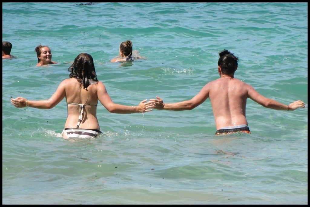
Swimming: Buffalo Beach is the main swimming beach in Whitianga – and a safe and sheltered one. Surfing: Buffalo Beach is really well suited to beginner surfers! Dogs: Dogs are welcome to be off lead on Buffalo Beach, except fo
Amenities: Buffalo Beach has lots of amenities – toilets, and the waterfront playground (Whitianga Esplanade Playground) which has trampolines and a splash pad, a sandpit and scooter track, an exercise area.. and down the end of the beach you have the ferry terminal, waterfront bars and cafés, so you’re sorted, no matter what!
Camping: Whitianga Campground is the campground most local to Buffalo Beach. Go, Because: Buffalo Beach is loved for its proximity to the town centre of Whitianga, to the ferry terminal, and to all the waterfront restaurants. A good one for ease of access and proximity to amenities!
Something Extra: Pipis (shellfish) can be dug up from just under the sand at low tide – and local regulations say you can take 50 per person! Enjoy with a crusty garlic bread – yum! Last Updated: June, 2026.
⛱️ Cooks Beach
General Location: Cooks Beach is located halfway down the eastern side of the North Island’s Coromandel Peninsula, just a little further down the coast from the town of Whitianga. Nearest Civilisation: Cooks Beach is a little settlement all on its own, and despite not being far from Whitianga township (as the crow flies, at least), its position across the mouth of the Whitianga Harbour means that with a car, you have to go the long way around by road – making it a forty minute drive from town (36 kilometres, 22 miles). Fortunately, it’s only a couple of minutes ferry ride between Ferry Landing at Cooks Beach and Whitianga Wharf, in town!
Immediate Surroundings: Cooks Beach is located within Cooks Bay, which is tucked into the wider Mercury Bay, further along from Whitianga township and the Whitianga Harbour. 20 kilometres (12.5 miles) off shore are the Alderman Islands. Purangi Estuary (Cooks Beach Estuary) sits at the southern end of the beach. Beach Name: Cooks Beach is the namesake for Captain James Cook, first European to set foot in New Zealand, who sailed into Mercury Bay in 1769 to chart Mercury’s path across the sky.
Getting There: Cooks Beach is accessed from Purangi Road, which comes off Hahei and Hot Water Beach Roads (Hot Water Beach Road is the turnoff you’ll take from State Highway 25). Faster access is available by using the ferry between Cooks Beach and Whitianga – just a couple of minutes ride each way.
Vehicle Parking: Some beachfront roadside parks are available at Cooks Beach. Walking Options: Between the Ferry Landing, the Maramaratōtara Track, Shakespeare Cliff (and the adjoining Shakespeare Cliff Scenic and Historic Reserve), and Whitianga Rock (and the adjoining Whitianga Rock Scenic and Historic Reserve), walkers. are. spoilt. for. choice. at Cooks Beach!
From the beach down to Ferry Landing, it’ll take you three quarters of an hour to walk (3 kilometres, or 1.8 miles), and you can do that via the road or via the sand. From there, it’s a half hour return trip to ascend (and descend) Whitianga Rock – just an 800 metre trip, return. (Whitianga Rock itself is 2 metres high and is the site of a historic pā.) If you still have energy in the tank, it’s an hour’s return over to Shakespear Cliff and back – which has a lookout up top with pretty amazing views of Mercury Bay.
Swimming: Yes! There’s good swimming to be had at Cooks Beach. Surfing: Cooks Beach is not well suited to surfers. Dogs: Dogs are permitted off lead on Cooks Beach except for in peak season.
Amenities: Cooks Beach has toilets and the Cooks Beach Recreation Reserve, featuring a playground, picnic areas, and summer markets – not to mention all the eateries in the Cooks Beach village close by.
Camping: Cooks Beach Resort, despite the name “resort”, has camping spaces that are in close to Cooks Beach – as does Cooks Beach Campground at Flaxmill Bay, sometimes just referred to as “Flaxmill Bay” which is one of the neighbouring bays. Go, Because: Enclosed within the wider Mercury Bay, Cooks Beach is sheltered by the edges of the bay, providing clear, calm waters for swimmers – making it a great family beach. Nearby Shakespeare Cliff provides awesome views over Cooks Beach.
Something Extra: A further walking option is the Maramaratōtara Track from Maramaratōtara Bay (which is Flaxmill Bay). It’s a an hour’s loop (3 kilometres, or 1.8 miles) and ascends 80 metres up to an epic viewing platform! Last Updated: June, 2026.
⛱️ Hahei Beach
General Location: Hahei Beach is located on the eastern coastline of the North Island’s Coromandel Peninsula, about halfway down, just further south from the Whitianga Harbour. Nearest Civilisation: Aside from the village of Hahei itself, the town of Whitianga is the biggest place of any significant size, although it’s half an hour by road, because of the route you have to take (35 kilometres, or 22 miles). And if you’re already in the village of Cooks Beach with your own transport, you need only drive 13 minutes around (11 kilometres, or 7 miles).
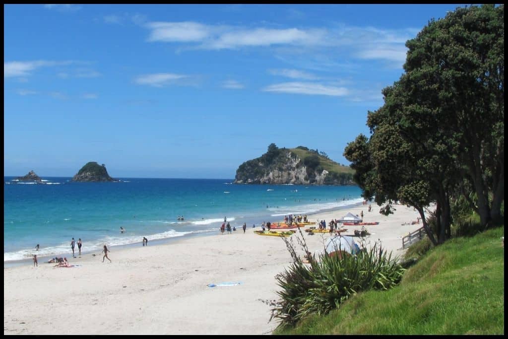
Immediate Surroundings: Hahei Beach is located in the Te Whanganui-A-Hei Marine Reserve – the Cathedral Cove Marine Reserve. It is not the famous Cathedral Cove itself, but instead, the gateway, for anyone going onward to the cove via the walking tracks that leave from the northern end of Hahei Beach or via the boats that leave from Hahei Beach. At the southern end is Te Pare Point (and the adjoining Te Pare Point Historic Reserve), and 900 metres offshore is Mahurangi Island (also known as Goat Island), with Okorotere Island and Te Tio Islands tucked in next to it.
Beach Name: Hahei Beach is named for the explorer Hei who arrived by waka to the area in the year 1350 CE and exclaimed at the beauty of the place, settling there. Once you visit, you’ll understand why! Getting There: Access to Hahei Beach is is via Hahei Road, which comes off Purangi Road (where you would turn off for Cooks Beach), which is off Hot Water Beach Road, which is off the main State Highway 25.
Vehicle Parking: Free parking is available at the Hahei Visitor Car Park, on Hahei Beach Road, and this is the best one to use for accessing Hahei Beach (there is the choice of a couple of carparks in the village that best serve visitors to Cathedral Cove, who need to walk from Hahei).
Walking Options: Well, the obvious one is out to the famous Cathedral Cove (read on!). An alternative is to head to the southern end of Hahei Beach for the Hereheretaura Pa Walk. This is a short walk into the Te Pare Point Historic Reserve to see the neighbouring historic sites of the Hereheretaura Pa and the Hahei Pa – it’s a kilometre (half a mile), return, and should take you forty minutes, return. (Did I mention the views at the top?!)
Swimming: Swimming is incredible at Hahei Beach; the water is just beautiful. Do it, go in. We spent time here in the summer of 2011 – definitely recommend. Be mindful of your ability, as generally the surf is not patrolled, although sometimes a volunteer team will patrol on peak days, eg Waitangi Day, a public holiday coinciding with the peak of summer’s heat.
Surfing: Breaks at Hahei Beach are only really suited for intermediate or expert surfers. Dogs: Generally, dogs are allowed off lead at Hahei Beach, except for daytime during peak season, but council tends to signpost the seasonal restrictions so that it’s clear.
Amenities: Hahei Beach, being such a popular beach, has lots of public toilets, changing rooms, a boat ramp, and a beachside reserve called Hahei Beach Village Green. There, you have an area to play basketball, tennis courts and a playground. Water taxis also leave from Hahei Beach out to Cathedral Cove, a beautiful way of getting out there.
Camping: The previously named Hahei Beach Resort has lots of camping sites for visitors to Hahei Beach, and is now trading under Tasman Holiday Parks – Hahei Beach. (I stayed in one of their parks in Christchurch and was really impressed.)
Go, Because: Hahei Beach is the entry point to the famous Cathedral Cove – whether you are choosing to head over to the cove by foot or by watercraft. You can catch water taxis to the cove from Hahei Beach, enabling you to really enjoy the clarity of the water in these parts, but don’t make the mistake of overlooking Hahei Beach, a gem in and of itself.
Something Extra: Head to the northern end of Hahei Beach to find its famous pink sand. The pink colour comes from the pink shells that have been washed up and ground up by the surf. For the best effect, go in the early evening. Last Updated: June, 2026.
⛱️ Cathedral Cove
General Location: Cathedral Cove is located halfway down the eastern coastline of the North Island’s Coromandel Peninsula. Nearest Civilisation: Aside from the village of Hahei, which is a forty five minute walk from Cathedral Cove, and the settlement of Cooks Bay, which is a ten minute drive plus the forty five minute walk from Cathedral Cove, tourists generally access the beach from Whitianga township.
Whitianga is a half an hour trip by road, because of the route you have to take (35 kilometres, or 22 miles), plus the walk time, but, being such a touristed route, shuttles tend to be available in peak season to get you where you want to go. (From Hahei, though, you are limited to foot or water access into the cove.)
Immediate Surroundings: Cathedral Cove sits just around the corner from Mercury Bay, Whitianga, and the Whitianga Harbour. Motueka Island (also named Pigeon Island) and Pokeke Island sit 1.5 kilometres (1.2 miles) offshore. The cove is located within Te Whanganui-o-Hei (Cathedral Cove Marine Reserve) – shared with Hahei Beach.
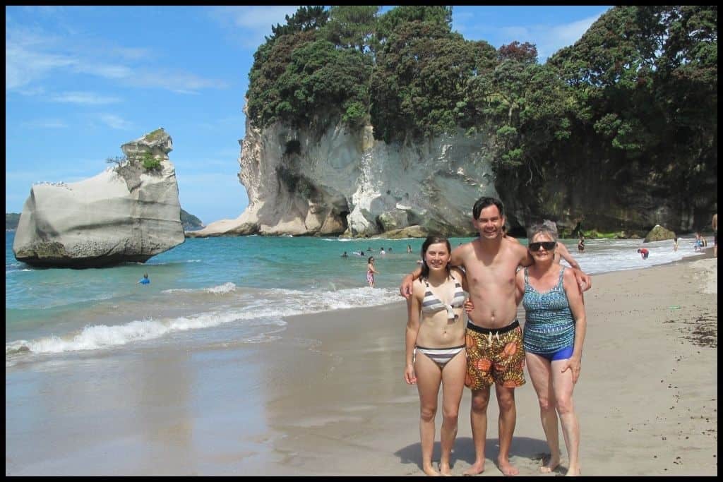
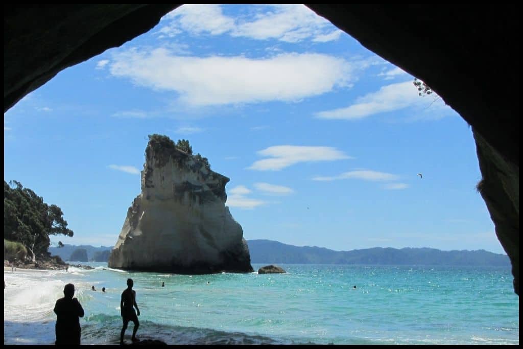
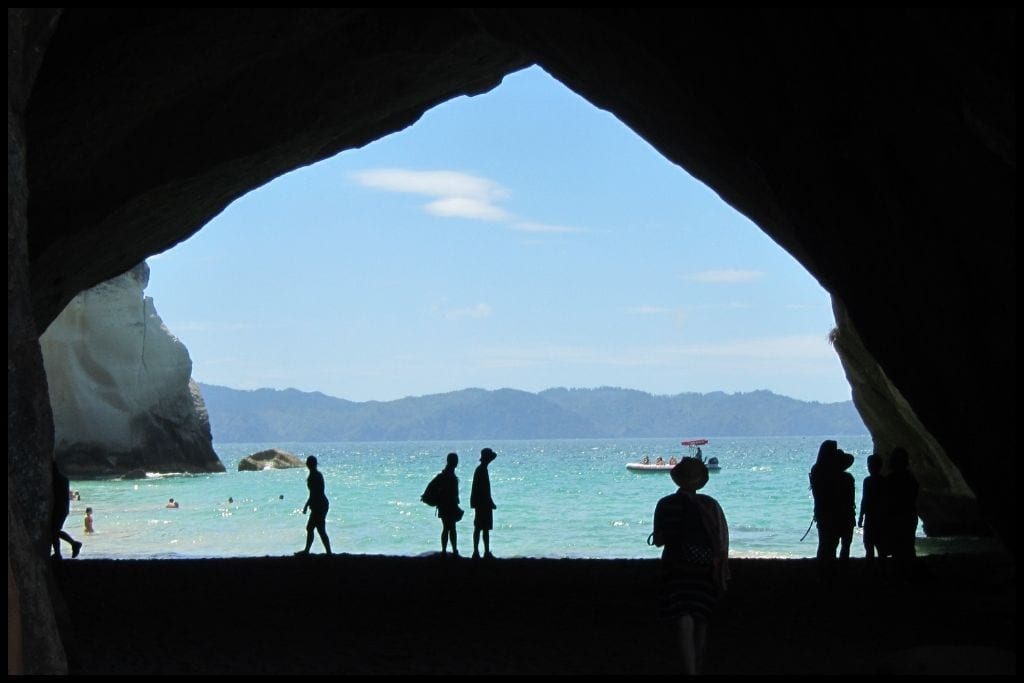
Te Hoho Rock and Smiling Sphinx Rock sit less than 100 metres off shore, and the famous limestone Cathedral Cave arcs across the beach, forming the natural 20 metre wide hole in the rock; its 15 metre high cavernous ceiling earns the beach its name.
Beach Name: Cathedral Cove is named for the – typically referred to – Cathedral Cave – the rock that you can walk through and is one of the most photographed sites in all of New Zealand. (NB that the Cathedral Caves (plural) are in fact a pair of caves down in the southeast corner of the South Island, and a separate destination.)
Getting There: Access to Cathedral Cove is by foot or by watercraft only. You can walk over from Hahei Beach – which is 5 kilometres (3 miles) return and will take you three quarters of an hour each way, or you can head around into the cove from Hahei Beach via self guided kayak, kayak tour, water taxi, or glass bottomed boat!
Vehicle Parking: The free vehicle parking for Cathedral Cove is at Hahei Visitor Car Park on Pā Road, and the paid parking is at Cathedral Cove Gateway Car Park on Lees Road, both in the village of Hahei. You can walk to the cove from both – they eventually link up to the main track (the one that heads in from Grange Road – the Mautohe Cathedral Cove Track although the latter one (Lees Road) connects up further down the track, so the total walk times are relatively similar. You cannot park at Grange Road, but you can be dropped off there – there is a pick up and drop off zone.
Walking Options: The walk to Cathedral Cove is one of the best parts! The official walkway is called Mautohe Cathedral Cove Track, and the official trailhead for it is at the Grange Road – the public can no longer park here, but its the one with the pick up and drop off zone. The official track in from Grange Road is three quarters of an hour’s walk each way – an hour and a half return.
It’s a 2.5 kilometre (1.5 mile) coastal track up on the cliffs taking you from the northern end of Hahei Beach out to Cathedral Cove. On the way, you’ll pass Gemstone Bay and Stingray Bay, and have the option of descending down into those bays.
To get to the Grange Road Trailhead, you can park at the Hahei Visitor Car Park on Pā Road (which is free), and catch a shuttle bus up to the trailhead (or walk, it’s an extra thirty minutes uphill walk; I’ve done both options). The shuttle system is called the Cathedral Cove Park And Ride; you’ll be on a bus within fifteen minutes, and it’ll take you five minutes to ride up.
If you park at the Cathedral Cove Gateway Car Park on Lees Road (which is paid), you’ll end up walking a half hour along a private farmland track that connects up to the main trail but when you come onto the main trail you’ll only have the final 10-15 minutes left to do, so it kind of works out the same, in terms of total walk time. You will pay for parking ($15NZD per vehicle, or 9$USD), but you won’t need to pay for a shuttle ($8NZD, $5USD – and peak season only) – shuttles don’t operate from the Cathedral Cove Gateway Car Park on Lees Road.
Swimming: Swimming is an absolute must at Cathedral Cove. The waters are pristine, part of the reason of why it is so famous.
Surfing: There is no good surfing at Cathedral Cove. Dogs: Dogs are banned from Cathedral Cove – and the walk there – to protect wildlife and marine life. Amenities: There are no amenities at Cathedral Cove but there is a toilet at the start of each route in (regardless of where you start your walk) and also a toilet 15 minutes before the cove (which would be around where the two tracks meet up). And sometimes in peak season there is an icecream truck parked up there, too!
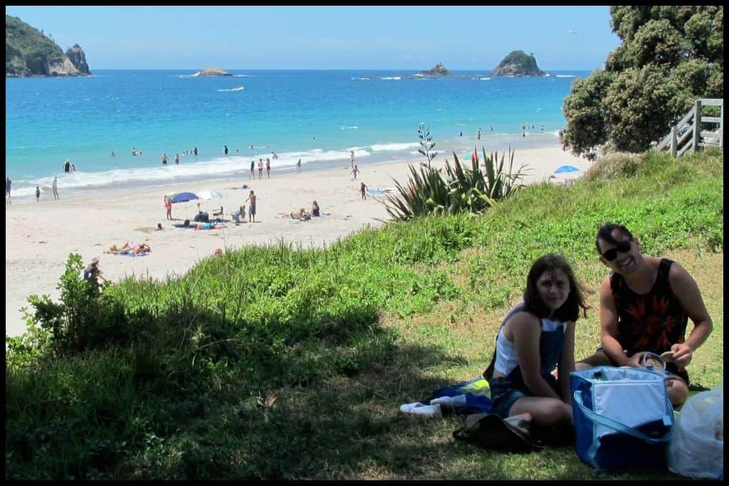
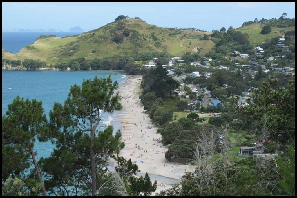
Camping: There is no campsite at Cathedral Cove but you can camp at Hahei Beach, which is the gateway (from where you will access Cathedral Cove via foot or watercraft). Go, Because: Cathedral Cove is one of the country’s best beaches, and quite iconic, having featured in the movie, ‘The Chronicles of Narnia: Prince Caspian’ in 2008. The beach (and the Cathedral Cove Marine Reserve / Te Whanganui-o-Hei) is only accessible by foot or boat. Both are great summer pilgrimages to this beautiful cove – wait until you see its blinding white sands, sparkling blue water, and that famous rock arch that you can walk through and take a fun silhouette photo in. Go very early and off peak season if you want to (try) and avoid the crowds!
Something Extra: Do remember that the waters here are part of a marine reserve, for good reason! I strongly encourage you to get out on the water, whether that be by guided kayak tour leaving from Hahei Beach or the glass bottomed boat that takes you there (or back – who needs to walk both ways?)! Last Updated: June, 2026.
⛱️ Hot Water Beach
General Location: Hot Water Beach is located about halfway down the eastern side of the North Island’s Coromandel Peninsula. Nearest Civilisation: The town of Tairua is a 26 minute drive south (24 kilometres, or 15 miles). Whitianga, nearly equidistant, is a half hour drive north of Hot Water Beach (33 kilometres, or 20.5 miles).
Immediate Surroundings: Hot Water Beach sits a bit south of Hahei Beach, south of the Whitianga Harbour, and north of the Tairua Harbour. Beach Name: Hot Water Beach takes its name from the hot water springs that well up when you go digging around at low tide. The Maori name for the beach is Te Puia (boiling spring).
It is distinct from the Hot Water Beach in Kāwhia, listed above, on the Waikato region’s west coast (often distinguished as Kāwhia Hot Water Beach). Getting There: Hot Water Beach is accessed from Hot Water Beach Road, which comes off the main State Highway 25 – the same turn off for Cooks Beach, Cathedral Cove and Hahei Beach. Regardless of the carpark you park at, you won’t have to walk more than 500 metres to the springs area.
Vehicle Parking: At Hot Water Beach, there are two lots of vehicle parking at the southern end of the beach (paid parking), and more vehicle parking further up the beach at the Domain Road Carpark (free parking). Walking Options: There’s a one hour Hot Water Beach Loop Walk which is 2 kilometres (1 mile) long. It loops past the springs, the mouth of the Taiwawe Stream, and the settlement there.
Swimming: The ocean itself at Hot Water Beach is rough and strong, so stick to swimming in your own little self-dug hot pool, which you can dig two hours either side of low tide, unless its peak season and the lifeguards are on patrol – in which case you should only swim between the flags.
Surfing: There are some good breaks at Hot Water Beach, but go north up the beach if you are less confident. Currents are strong at Hot Water Beach. Dogs: Dogs can run off lead at Hot Water Beach but not in the carpark or in the springs area, where people dig, at the southern end of the beach. Amenities: Hot Water Beach has toilets at each carpark – and two cafés, and a holiday park, all three of which can hire you a spade if you don’t have one with you – as well as a bar/craft beer brewery.
Camping: Campers can stay at the Top 10 Hot Water Beach Holiday Park on the beachfront. It has a pizzeria, gelato shop and fish and chip shop all contained onsite!! Go, Because: Hot Water Beach is incredibly popular because of the fact that two hours either side of low tide, you can take a spade down and dig yourself a hole to sit in. The water below the sand is hot – sometimes too hot! – and if you spend long enough, you can dig yourself quite a decent little hot pool – or poach someone else’s, when they’ve left!
This beach is a famous one, so expect people – but it can also be enjoyed in cooler weather, due to the fact that you’ll be soaking in warmer temperatures. Something Extra: Crayfish can be found at the rocky ends of Hot Water Beach and free divers are allowed to take six home, and according to the other restrictions in place regarding their size and how they are caught. Last Updated: June, 2026.
I’ve coupled together Tairua Beach and Pāuanui Beach, which sit on either side of the Tairua Harbour. They’re not far away from each other but you do have to drive inland and then out again to get from one to the other, so they are twenty minutes apart by road.
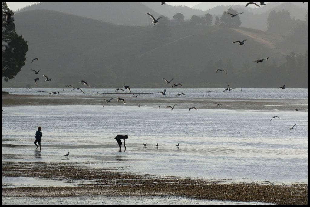
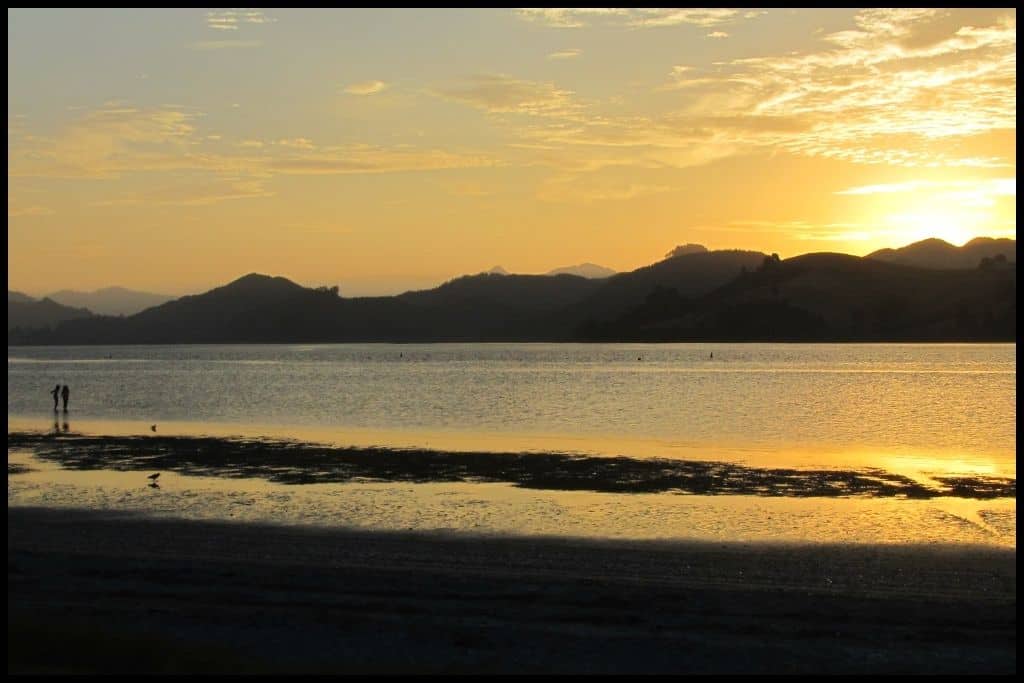
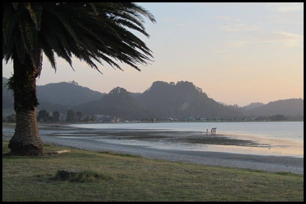
⛱️ Tairua / Ocean Beach
General Location: Tairua Beach sits on the eastern side of the North Island’s Coromandel Peninsula, fairly near its base. Nearest Civilisation: Tairua town centre is just a couple of kilometres from Tairua Beach.
Immediate Surroundings: Tairua Beach is overlooked by Mount Paku at its southern end, and just across the mouth of the Tairua Harbour (formed by the tidal Tairua Estuary and mouth of the Tairua River) is Pāuanui Beach – at narrowest, the distance is only 117 metres! Tairua Ocean Beach Reserve sits adjacent to the coastline. Beach Name: Tairua translates to “two tides” and refers to the tidal estuary meeting the ocean tide at the mouth of the Tairua River.
Getting There: Tairua Beach is accessed basically directly off the main state highway – which is State Highway 25. Ocean Beach Road is the turnoff. Vehicle Parking: Ample parking is available down Paku Drive, which runs down the southern end of the beach.
Walking Options: The best walk around is to summit Mount Paku! The track is called Mount Paku Summit Walk. You’ll ascend 75 metres for some pretty epic 360 degree views and will be back within the hour – it’s just a 1 kilometre (half a mile) expedition. Swimming: Swimming – and boogie boarding – at Tairua Beach is pretty amazing. Just swim between the flags when lifeguards patrol during summer – this is the safest time to be in the water.
Surfing: Surfing at Tairua Beach is pretty amazing, too! Dogs: Dogs are allowed off lead on Tairua Beach except during daytime in summer and holiday weekends – they also need to be out of the estuary at these peak times. Amenities: Tairua Beach has toilets, a reserve close by (Pepe Reserve) with picnic areas and barbecues for public use, boat ramps and a marina on the estuary side, and ample eateries a short distance away in town.
Camping: Tairua Campground is the place to head for campers wanting to stay at Tairua Beach. Go, Because: Tairua Beach is a real favourite for many New Zealanders, with its incredible surf enjoyed by surfers and boogie-boarders alike. A climb up Paku Hill nearby affords gorgeous views over the beach and the Tairua Harbour. Fishing is good here, too.
Something Extra: Head estuary side for a spot of kayaking or stand up paddleboarding – or, if its low tide, to see if you can dig up some pipis (shellfish) to take home! Last Updated: June, 2026.
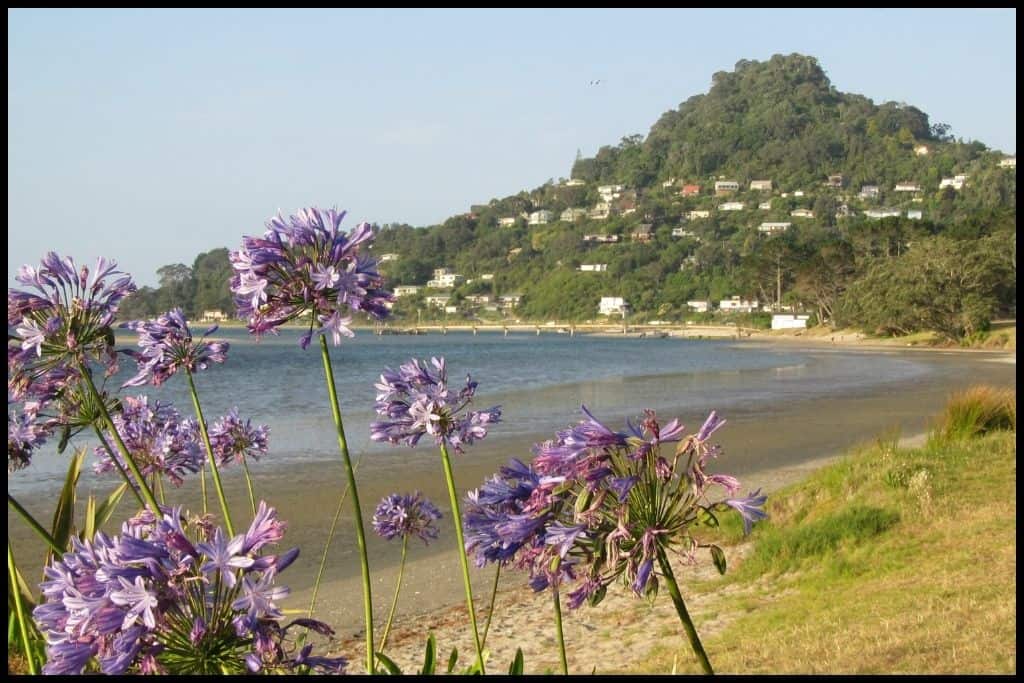
⛱️ Pāuanui Beach
General Location: Pāuanui Beach is located in the southeastern corner of the North Island’s Coromandel Peninsula. Nearest Civilisation: It’s Pāuanui – the beach and town centre are only a few minutes walk apart.
Immediate Surroundings: Pāuanui Beach is located right across the Tairua Harbour with Mount Paku and the harbour entrance at its northern end. At its southern end, the dominant feature is Mount Pāuanui. Shoe and Slipper Islands sit 3.5 kilometres (1.8 miles) and 8 kilometres (5 miles) offshore, respectively. Beach Name: Pāuanui translates to “big pāua” (shellfish) – it’s always been a place of abundant pāua.
Getting There: Pāuanui Beach is accessed off Pāuanui Beach Road, which comes off Hikuai Settlement Road, the turnoff from the main State Highway 25.
Vehicle Parking: Abundant parking is available at both ends of Pāuanui Beach, with a northern carpark and a southern carpark. Walking Options: The best walk around has got to be the ascent up Mount Pāuanui! It’s the Mount Pāuanui Summit Track and can be steep but the views are wonderful. Give yourself two hours for the return trip (6 kilometres, or 3.8 miles return). There is a loop option if you have an extra hour.
Swimming: Pāuanui Beach is partly so beloved for its wonderful swimming. The drop into the surf is gentle and its safer still when the lifeguards patrol during summer – this is the safest time to swim. Surfing: Pāuanui Beach is widely loved by surfers, as well!
Dogs: Dogs need to be on lead at the northern end of Pāuanui Beach – and completely away over the warmer half of the year (October – March) to protect the birdlife, but can run off lead south of the surf club. Amenities: Pāuanui Beach has changing rooms, toilets and showers available – and a playground at the far northern end, as well as all the amenities you could want in the township close by.
Camping: Campers can stay at Pāuanui Glade Holiday Park, which is just back from the beach, and freedom campers can stay at the southern end in the designated freedom camping area, if they are self contained. Go, Because: Pāuanui Beach is also one of the more popular destinations on the Coromandel Peninsula, with its long stretch of white sand, great surf, lifeguard patrols, nearby estuary, and Mount Pāuanui at the end of the beach, offering a good little climb for the reward of a great, panoramic view. The swimming is safe, and the conditions at Pāuanui frequently lend themselves to good kitesurfing and windsurfing!
Something Extra: There is so much to do here – and the whole estuary to explore when you get bored of the beach! Something additional to consider adding to your activity list, however, is to take the water taxi out to Slipper Island – it’s a fifteen minute trip – and enjoy the island walks, the farm animals, the fishing, volcanic cliffs, and the snorkelling out there. Last Updated: June, 2026.
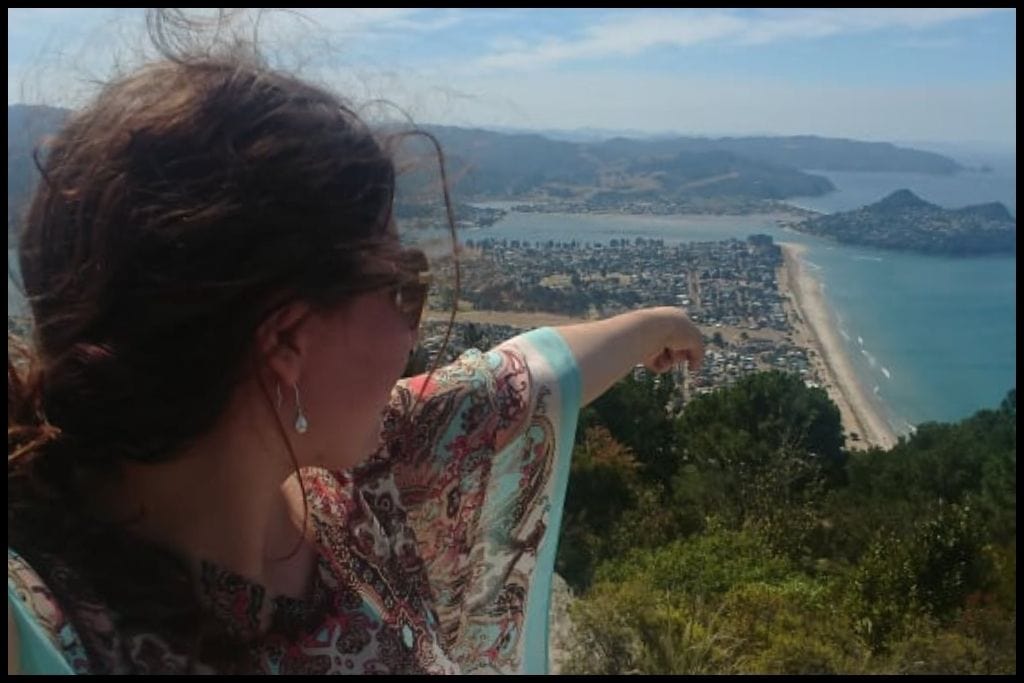
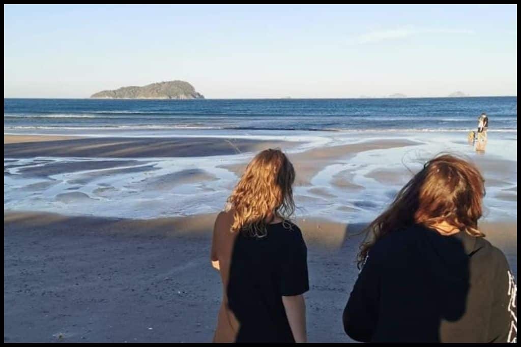
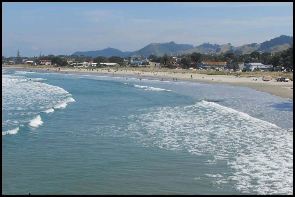
As we continue to travel south down this stretch of coastline, the next two beaches of note are Pokohino Beach and the incredibly popular Whangamatā Beach.
⛱️ Pokohino Beach
General Location: Pokohino Beach is located at the base of the North Island’s Coromandel Peninsula, in the southeast corner of the district. Nearest Civilisation: Pokohino Beach is best accessed from the town of Whangamatā, which is a quarter of an hour’s drive away (11 kilometres, or 7 miles).
Immediate Surroundings: Pokohino Beach is just a little north of Whangamatā, and a little south of Slipper Island and Pauanui Beach. It faces into the Pacific Ocean. Beach Name: The name Pokohino translates to ‘the gathering of foam” and refers to the ocean spray. Getting There: Pokohino Beach is a little bit special – it can only be accessed by foot, it’s small, and it’s secluded – meaning it is somewhat of a ‘secret’ beach – I’ll admit that I, myself, have never been!
Vehicle Parking: There is a clearing at the end o fthe access road where you can park, from where to access the track to Pokohino Beach, but you do need to walk for half an hour to get down to the beach. Walking Options: The walk is the access route itself! To Pokohino Beach, you need to walk 750 metres in (half an hour’s walk) and the same back out again.
Swimming: Pokohino Beach is a great little swimming spot! It does not have a lifeguard patrol, however, as it is too small and hard to reach. Surfing: Pokohino Beach is too sheltered of a beach for surfing.
Dogs: Dogs need to be under control when at Pokohino Beach and tighter on lead restrictions may apply in peak season. Amenities: Pokohino Beach has no amenities of any kind, so take all that you’ll need. Camping: There are no camping options at Pokohino Beach.
Go, Because: A challenging, 20 minute bush trek to Pokohino Beach means that it is not frequented by many, and a bit of a secret beach. You’ll be rewarded with a small sea cave to explore, and and rock pools you can look at at low tide – not to mention the major drawcard: the sheer beauty of this beach and the unbelievably clear water.
Something Extra: Pokohino Beach has a rock you can jump off on the right hand. side, near the cave. A high tide activity only! Last Updated: June, 2026.
⛱️ Whangamatā Beach
General Location: Whangamatā Beach is located at the base of the North Island’s Coromandel Peninsula, in it’s south eastern corner. Nearest Civilisation: The township of Whangamatā is barely a kilometre (half a mile) away from Whangamatā Beach, so nice and close.
Immediate Surroundings: The Wentworth River Mouth forms the Whangamatā Harbour immediately north of Whangamatā Beach. The Whangamatā Sandbar extends out from here, responsible for some world class surfing. The shape of the harbour forms the the Onemana Peninsula as it approaches the harbour mouth from the north. To the south, the beach is hemmed in by the Otahu River Mouth.
Whangamatā Islands Wildlife Sanctuary sits just off shore and encompasses Whenuakura Island (famously known as Donut Island), Rawengaiti Island, and the Maukaha Rocks between them, as well as the surrounding waters. This is a protected area for sea bird life and marine life.
Whenuakura Island (Donut Island) sits less than a kilometre (half a mile) offshore, and is named for the hole in the cavernous ceiling of the island (entry is through a 12 metre high cave), which creates a sort of skylight that illuminates the water (a small, emerald coloured lagoon) in this cool little ‘grotto’ in an exceptionally pretty way (its actually a collapsed volcanic crater). It’s a pretty cool adventure out there and only a 15-30 minute paddle by kayak or stand up paddleboard (at narrowest, the offshore distance is only 600 metres!). You can paddle through and around but can’t land there.
You also have the Maukaha Rocks and Rawengaiti Island beyond those. As they’re all part of the Whangamatā Islands Wildlife Sanctuary, you can’t land, but if you’re paddling by, you’ll likely spot some birdlife or marine life!
Hauturu Island (also known as Clark Island) is the bigger island that sits just a couple of kilometres offshore, more at the northern end of Whangamatā Beach – and it’s not part of the sanctuary, so you can land there. The sandbar means you can actually walk over at low tide (although it may still be knee deep), so you can still have an island adventure even if you don’t have watercraft!
Those keen to venture out via paddling can rent/hire watercraft from the beach: Donut Island has become quite insta-famous in recent years and many visitors want to go and check it out, so operators cater to that. And guided tours are an option for those who would like to go with someone.
Beach Name: Whangamatā translates to “harbour of obsidian”, which is very cool. The volcanic history of the place means obsidian would often wash up onshore historically, as was valuable as a material from which early Maori made their tools. Getting There: Whangamatā Beach is accessed all along by beachfront roads, with the main ones running through the town being Port Road and Ocean Road. Port Road comes off the main state highway (State Highway 25) which winds its way up the Coromandel Peninsula.
Vehicle Parking: Abundant, free, and all-day parking is available at Whangamatā Beach. Walking Options: The Whangamatā Harbour Edge Walk starts at the wharf at the northern end of Whangamatā Beach and heads into the harbour – the whole thing will take you two hours but you need only do as much as you like. This is a good walk for those keen to see some dotterels, oyster-catchers, godwits, plovers, etc!
Swimming: Whangamatā Beach is really such a favourite for good swimming – and boogie boarding. We had two lengthier holidays here when I was two and when I was fifteen and we have some good memories of boogieboarding and swimming – and toddler me was towed around on a boogie board in the shallows! Lifeguards patrol in summer making it a really family friendly beach.
Surfing: Whangamatā Beach boasts some of the best surf in the country – definitely a destination for surfies to hit up – it’s waves have even been classed as “world-class”! Dogs: As with the other beaches in the district, dogs are generally okay off lead at Whangamatā Beach except during daytime in peak season and holiday weekends – and should be under control, kept away from birdlife and often out of the estuary, depending on local, seasonal restrictions. Amenities: Whangamatā Beach has ample toilets, changing rooms, showers, all along the beach front, the life saving club, the Beach Road Reserve Playground with adjoining picnic areas, and behind the surf club is Williamson Park, with its reserve, picnic areas and barbecues available for public use.
Camping: Whangamatā Motor Camp is the primary spot for campers to stay near to Whangamatā Beach. Go, Because: Alongside Whitianga, Tairua and Pāuanui, I’d put Whangamatā right up there with the most populous summer hotspots on the Coromandel Peninsula. Whangamatā Beach is so loved because of its gorgeous sand and surf – it’s actually world-renowned for surfing with international surfies flocking to it for its breaks, partly owing to the presence of the Whangamatā Bar.
Something Extra: When you’ve had your fill of the surf, sand and offshore islands, head to the wharf at the northern end of the beach – many enjoy jumping off at high tide. Last Updated: June, 2026.
Alongside Whitianga, Tairua and Pāuanui, I’d put Whangamatā right up there with the most populous summer hotspots on the Coromandel Peninsula. Whangamatā Beach is so loved because of its gorgeous sand and surf – it’s actually world-renowned for surfing with international surfies flocking to it for its breaks, partly owing to the presence of the Whangamatā Bar.
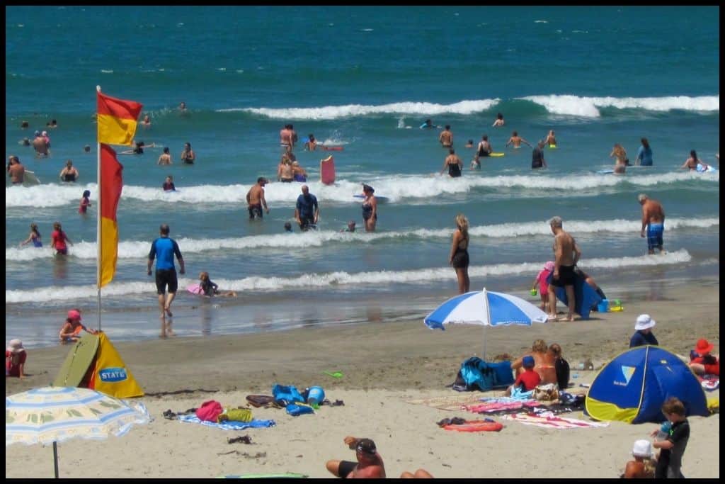
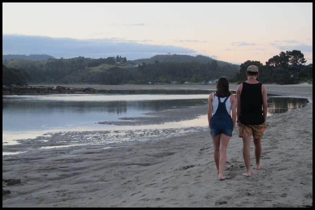
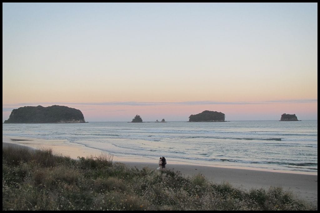
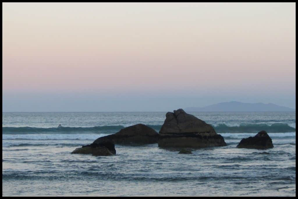
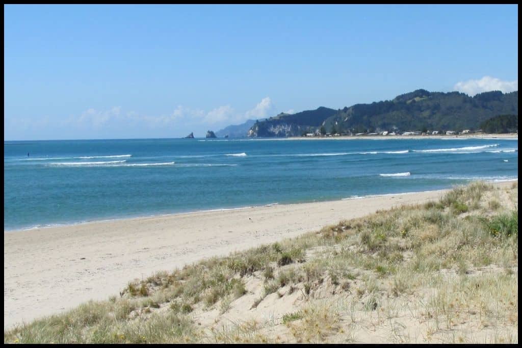
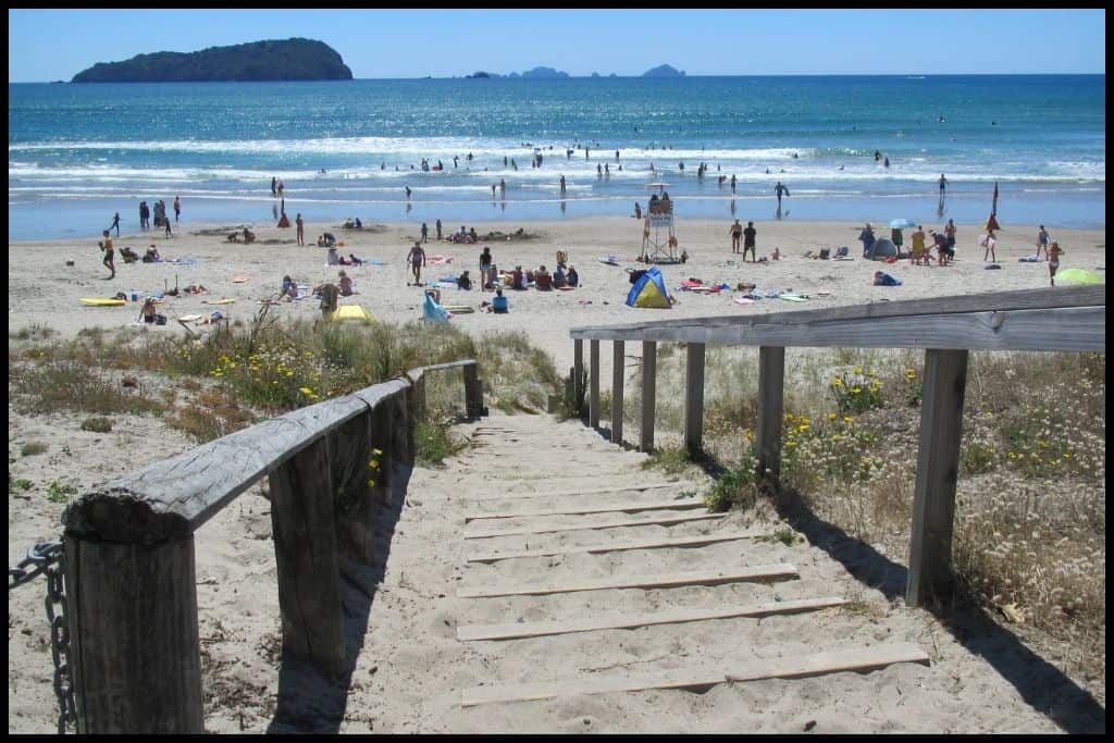
Waihī Beach is technically over the border and in the Bay of Plenty region, but as it lies just south of Whangamatā Beach (a 40 minute drive), I’ll include some details about it here.
⛱️ Waihī Beach
General Location: Waihī Beach is situated just at the base of the Coromandel Peninsula, technically at the top of the Bay of Plenty region, (but not too far across the border between Waikato and Bay of Plenty). It’s the gateway to the Coromandel, and I felt it would be helpful to have it here with the other Coromandel beaches for anyone planning a route up the peninsula from this direction. Nearest Civilisation: Waihī Beach is a beachside town all of its own, so amenities are close by.
Immediate Surroundings: Waihī Beach sits immediately south of the Orokawa Scenic Reserve, down at the very bottom of the Coromandel Peninsula, and is a bit north of the Bowentown Peninsula (which shelters the entrance into Tauranga Harbour).
Beach Name: Waihī means ‘rising water’ – it refers to an old legend of a historic figure who paused in the area so he could dig a hole in order to have a drink, when water rose up. Getting There: Waihī Beach is a whopping 9 kilometres (5.5 miles) long and fortunately has 12 access points spread all along the beachfront.
Vehicle Parking: Waihī Beach is long and therefore has multiple carparks. Walking Options: Head out from the northern end of the beach toward Orokawa Bay on the Orokawa Bay Walk. It’ll take you three quarters of an hour, one-way (and is 6 kilometres, or 3.7 miles for the return trip).
Swimming: Swimming at Waihī Beach is honestly really good. Lifeguards do patrol in peak season. Surfing: Surfing at Waihī Beach lends itself best to intermediate and beginner surfers.
Dogs: Dogs are permitted off leash at Waihī Beach except for during peak times in summer. Amenities: Waihī Beach has lots of public toilets, several cafés and eateries, and has a playground right on the esplanade which has a sandpit, pump track and a picnic area (Island View Reserve).
Camping: Tasman Holiday Parks operate a couple of campsites at Waihī Beach. Freedom camping allowed in Island View Reserve right by Waihī Beach – and also in two other reserves locally (which are Athenree and Bowentown).
Go, Because: Waihī Beach is loved nationwide – another beach with a very long stretch of gorgeous white sand, with the added benefits of having awesome surf and lifeguards patrolling in summer, and considered a really safe swimming spot. It’s a stone’s throw from the port city of Tauranga, but an easily travelled distance from Auckland city, as well. It’s a whole little beach side town, with all the amenities, good walking, sheer beauty, and not to be missed.
Something Extra: Waihī Beach is a fabulous place to try surfing for the first time. Enrol at Waihī Beach Surf School to experience the thrill of it! Last Updated: June, 2026.
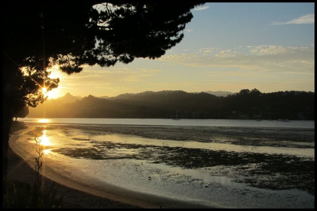
From wild west coast surf to crystal-clear bays on the other side of the country, the Waikato region really does have the best of both worlds. Take your time exploring – guaranteed you will find new favourites of your own as you do that do not feature here; naming them all would be an impossible task in a region so rich in beautiful beaches.